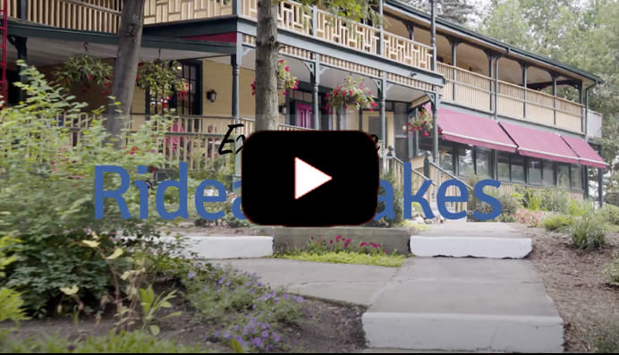
EXPERIENCE

Discover (148)
Children categories
Villages (8)
Our Villages and Hamlets
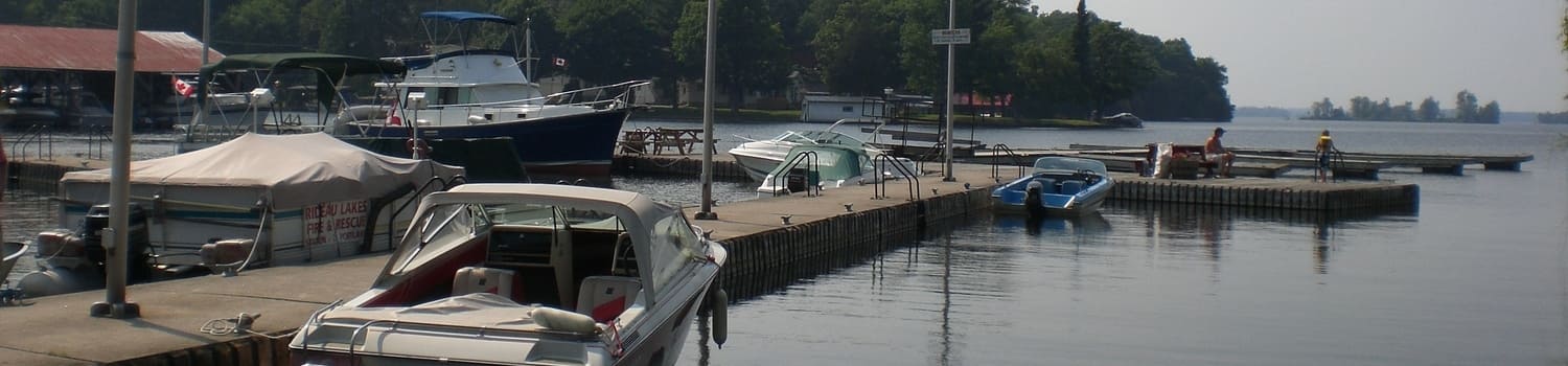
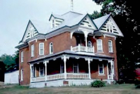
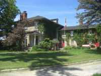
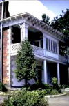
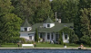
Rideau Lakes is a community of Villages and Hamlets. Explore and learn about the landscape and the people. Each village and hamlet have a unique culture and story to tell. Whether you’re a visitor looking to discover your roots in the area, a family trying out an adventure on the water, or an urbanite seeking a safe and quiet, rural lifestyle… Rideau Lakes will find a place in your heart.
For thousands of years before European settlers arrived in what is now called Rideau Lakes, Algonquin speaking peoples, the Massasauga and proto-Hurons lived in these lands. Indigenous artifacts have been discovered around all of the lakes throughout this area, some that are more than 9000 years old. When the European settlers arrived, just over 200 years ago, the communities of Rideau Lakes were born.
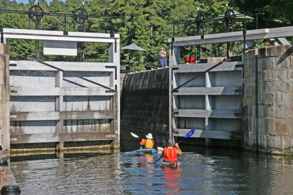
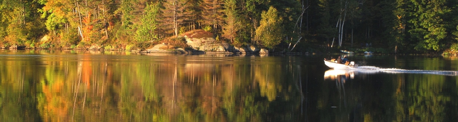
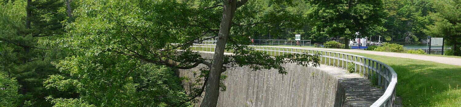
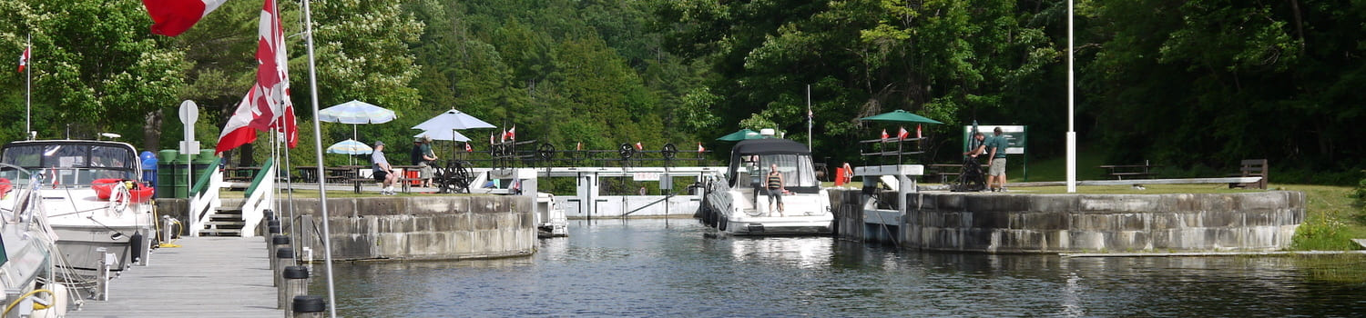
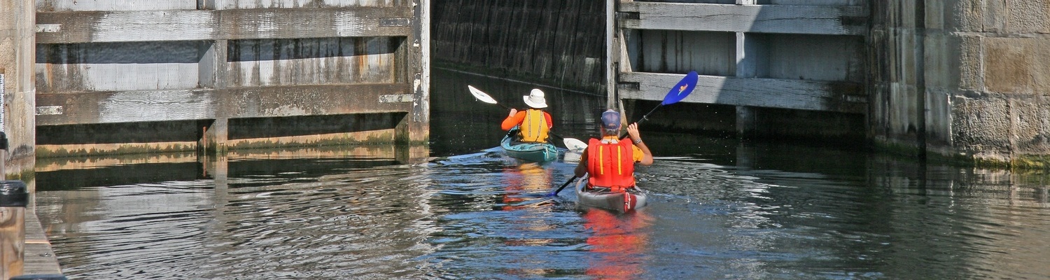
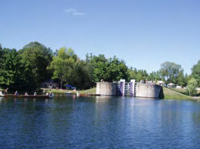
The area, bounded by Cranberry Lake to the south and Jones Falls lockstation to the north, provides great day paddling experiences and features narrow sections and winding shorelines and so can be paddled even when the wind is up.
Additional Info
- Length 10.8 km
-
Map

Published in
Paddling
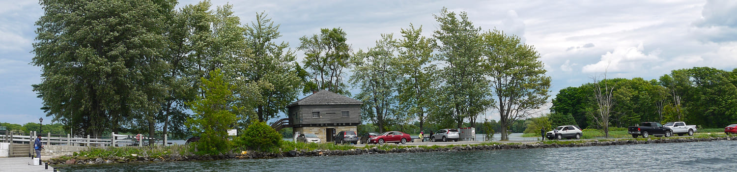
This paddle route begins at Jones Falls and winds its way towards Delta, but you could also paddle from Delta to Jones Falls instead. Start or end your day exploring either Jones Falls or the Old Stone Mill in Delta.
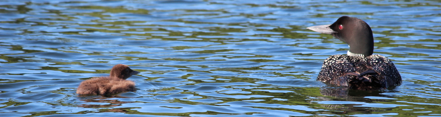
When leaving Jones Falls, it is recommend that you paddle along the east shoreline to avoid the heavy boat traffic on the Rideau Waterway. You will turn northeast at Deans Island and paddle through Morton Creek (with a short portage around a dam). From Morton Creek, you will enter Oak Bay. East of Oak Bay is Lost Bay and Wellys Bay, both good pike and bass fishing spots.
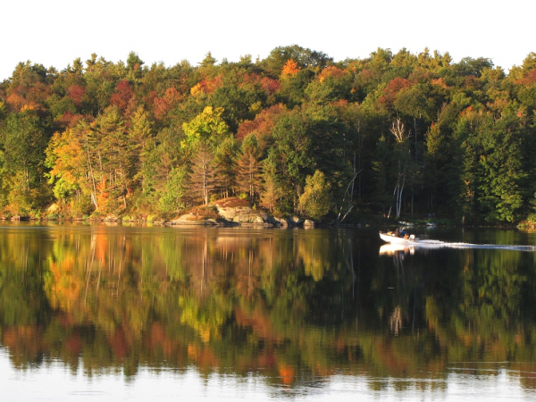
Continuing your paddle northeast, you will go past Horse Island and enter Lower Beverley Lake. If the weather is nice and water is calm, you can paddle across the lake towards Delta. However if the weather and water is rougher, you could travel north following the shoreline which eventually turns south towards Delta.
Delta makes an ideal end point, providing easy access to Upper Beverley Lake, for another great opportunity for an interesting paddling day trip, as well as camping facilities.
Additional Info
- Length 20 km
-
Map

Published in
Paddling
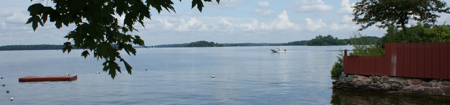
The Beverley lakes, Upper Beverley and Lower Beverley, provide great opportunities for interesting paddling day trips. The ideal starting point is Delta, which provides easy access to both lakes as well as camping facilities.
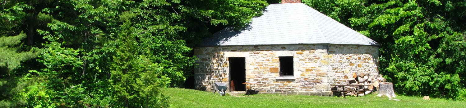
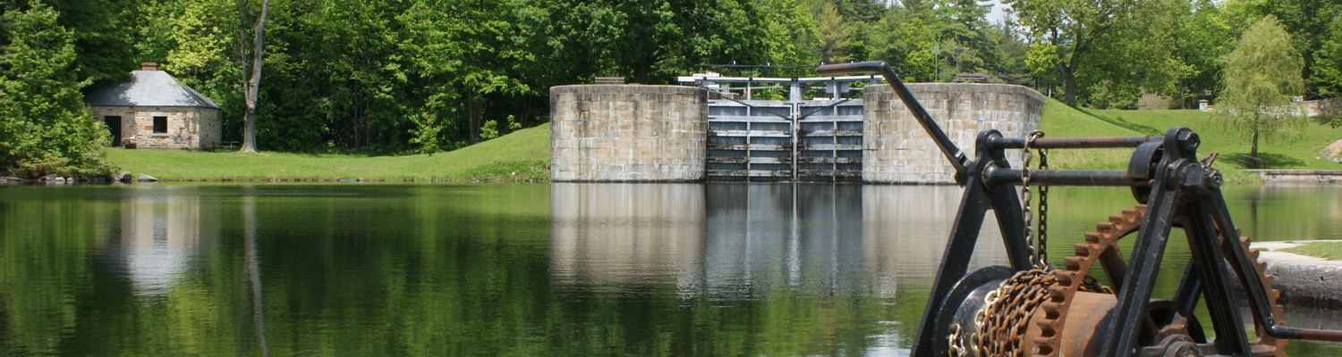
Start your journey at the Delta Launch at Lower Beverley Lake Park (free car parking at boat ramp). Paddle along the waters of Lower Beverley Lake and around some of its lovely islands particularly watching and listening for loons. Turn east into the Creek towards Delta and dock behind the Old Stone Mill, a National Historic Site. The Mill opens at 10:00 am with admission by voluntary donation. Buy lunch or enjoy your picnic at the park and visit the shops.
Published in
Paddling
History along the Route
Additional Info
- Route Name Newboro – Sunbury
- Length approx. 95 km
- Road Surface Hard surface, some limited shoulders, some steep topography
-
Map

Published in
Cycling

History along the Route
Additional Info
- Route Name Newboro – Parham
- Length approx. 104 km
- Road Surface Hard surface, some limited shoulders, some steep topography
-
Map

Published in
Cycling
History along the Route
Additional Info
- Route Name Newboro – Lanark
- Length approx. 120 km
- Road Surface Hard surface, some limited shoulders, some steep topography
-
Map

Published in
Cycling
History along the Route
Additional Info
- Route Name A Billion Years and Counting
- Length approx. 32 km
- Road Surface Variety of hard and loose surface, some steep topography
-
Map

Published in
Cycling
History along the Route
Additional Info
- Route Name Crosby – Glen Tay
- Length approx. 80 km
- Road Surface Hard surface, some limited shoulders, some steep topography
-
Map
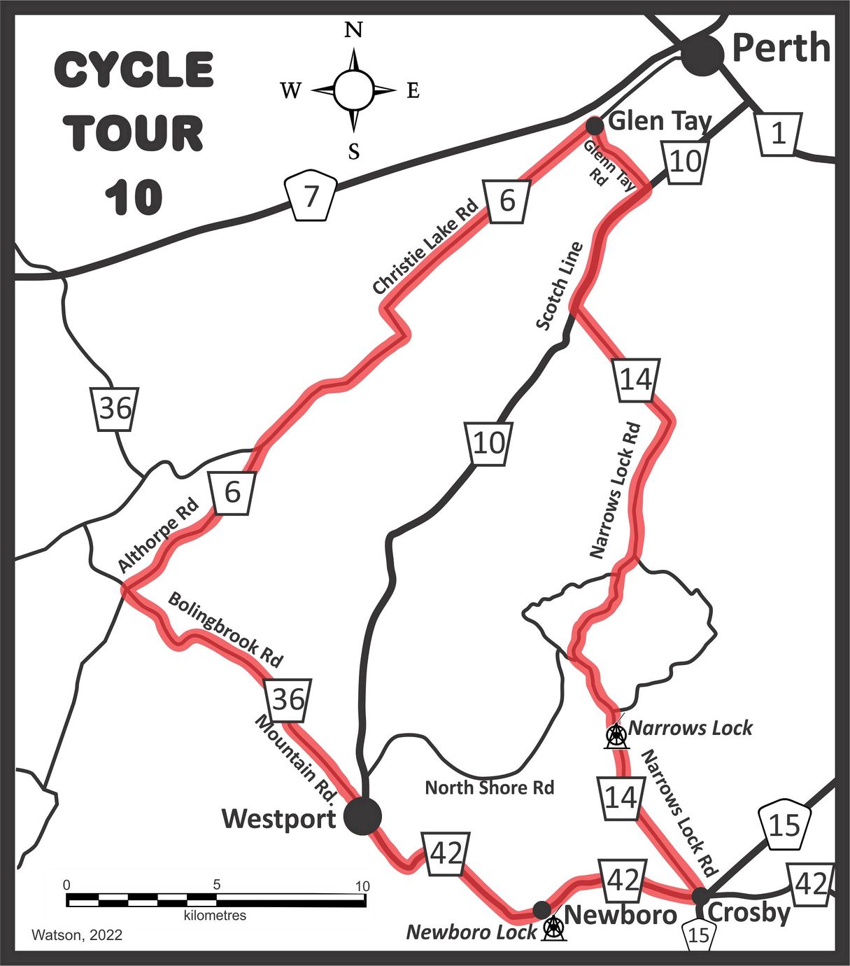
Published in
Cycling
Learn more about
Additional Info
- Route Name Forgotten Ontario
- Length approx. 76 km
- Road Surface paved roads with about 10% gravel roads
-
Map

Published in
Cycling
Learn more about
Additional Info
- Route Name Delta - Upper Beverley Lake
- Length 23 - 30 km
- Road Surface mostly gravel roads
-
Map

Published in
Cycling
More...
Learn more about
Additional Info
- Route Name Delta - Eight Lakes
- Length approx. 97 km
- Road Surface paved roads with about 5km of gravel roads
-
Map

Published in
Cycling
Learn more about
Additional Info
- Route Name Delta - Rideau Ferry
- Length approx. 77 km
- Road Surface paved roads with some loose surface roads
-
Map
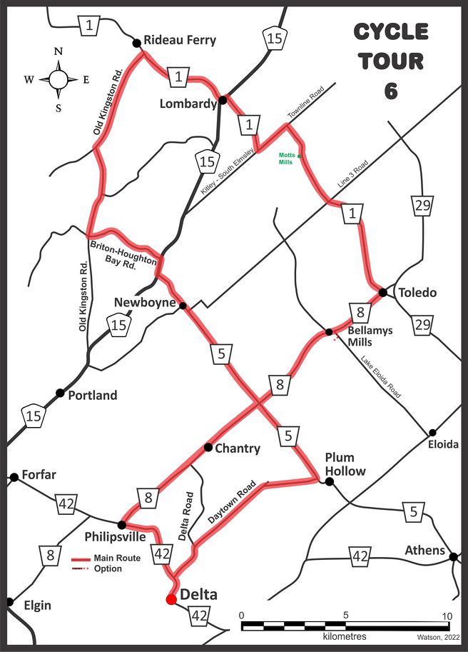
Published in
Cycling
Learn more about
Additional Info
- Route Name Delta - Lake Eloida - Oak Leaf
- Length approx. 52 km
- Road Surface paved roads
-
Map

Published in
Cycling
Learn more about
Additional Info
- Route Name Delta - Jones Falls - Lyndhurst
- Length approx. 46 km
- Road Surface paved roads
-
Map
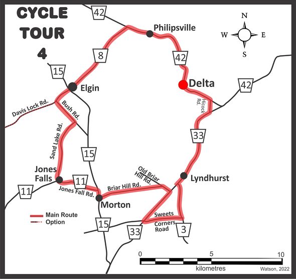
Published in
Cycling
Page 9 of 11