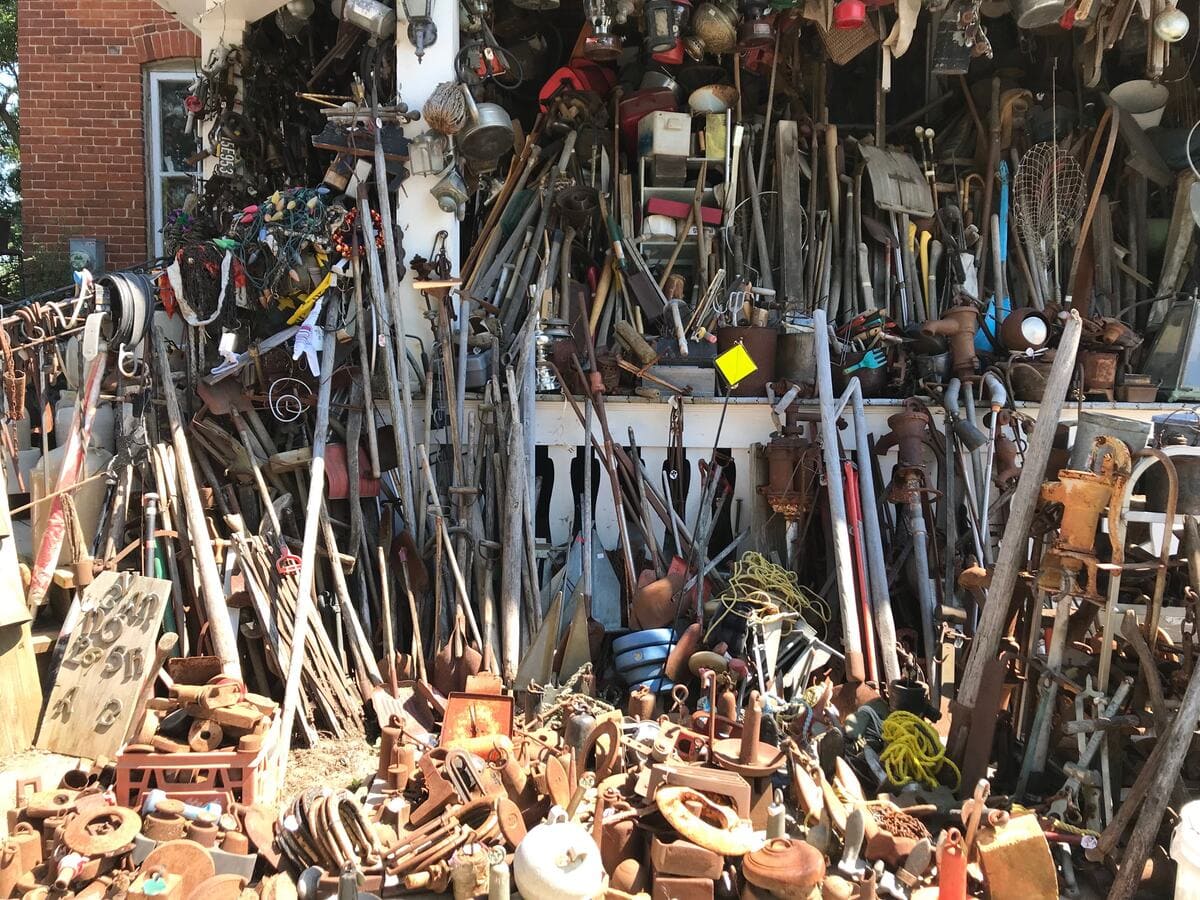
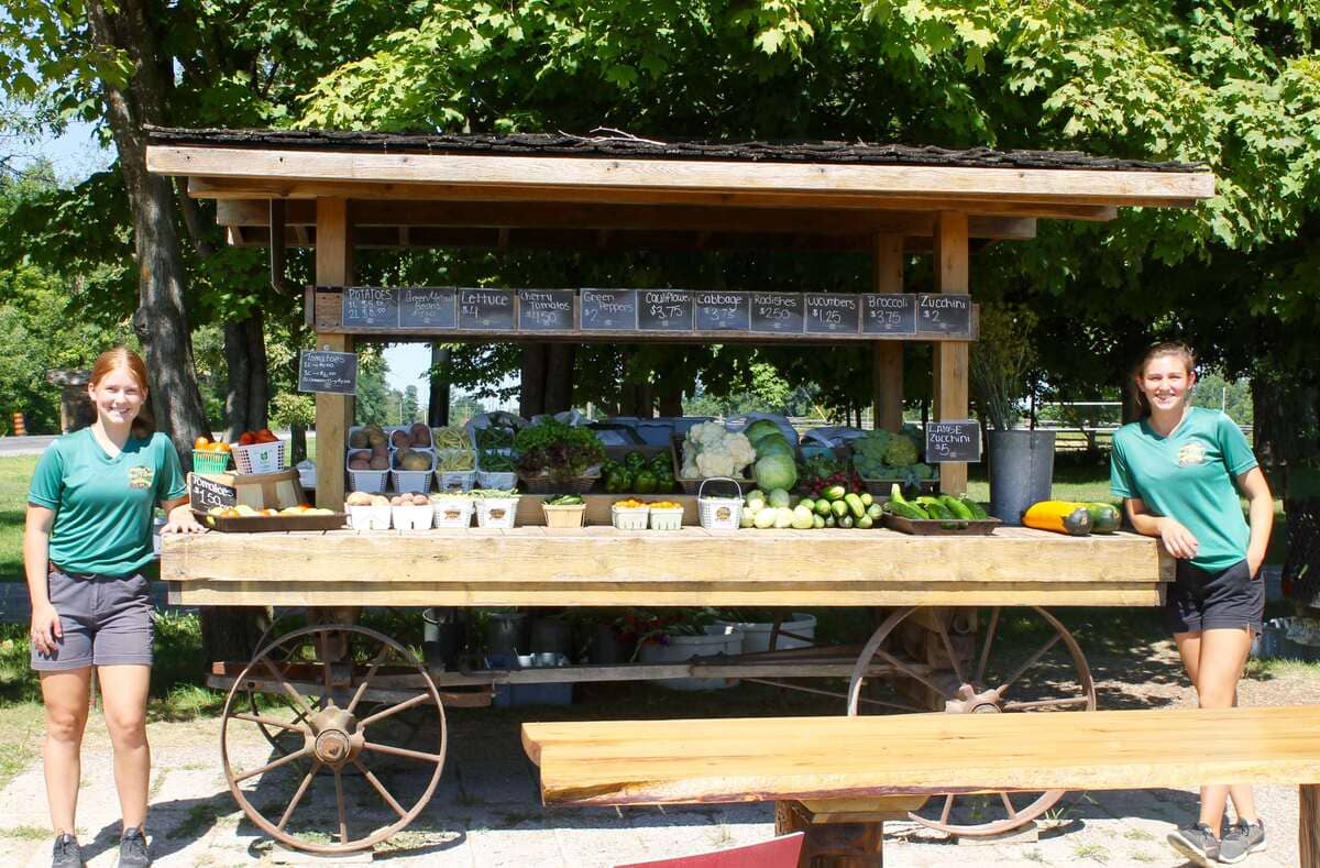
LIVE

.jpg)
.jpg)
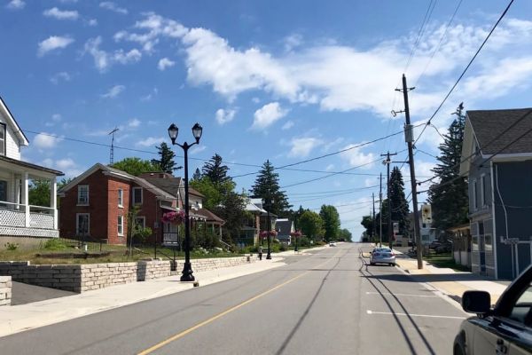
Displaying items by tag: village
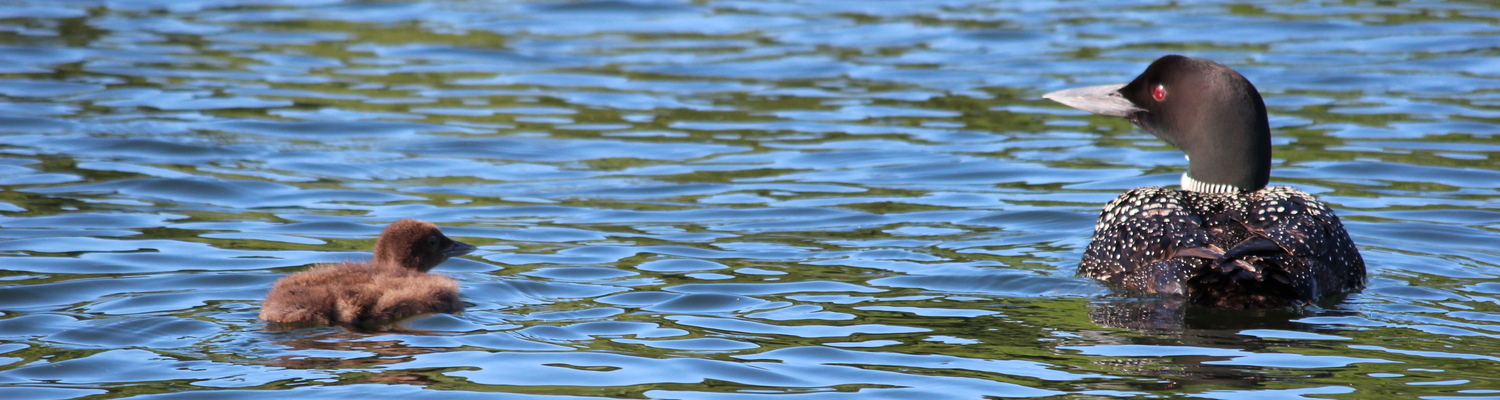
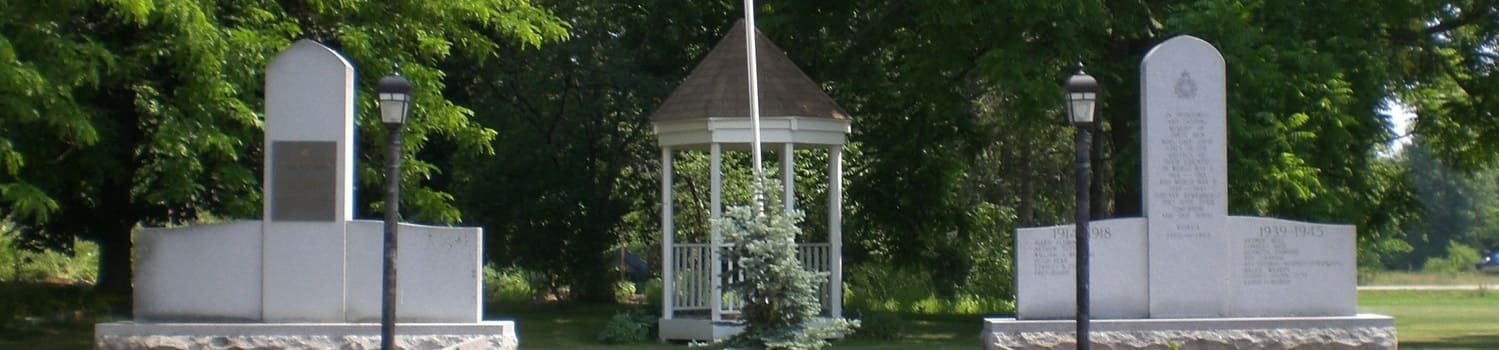
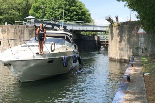
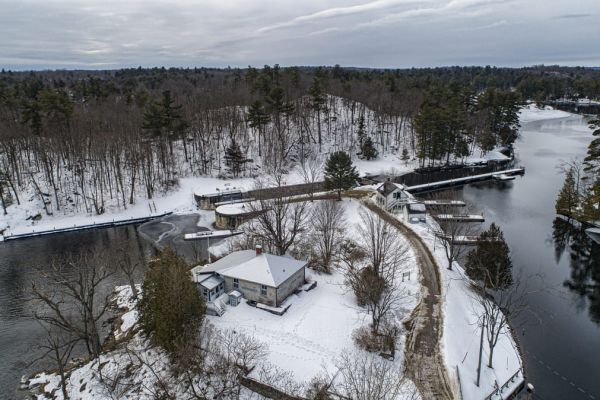
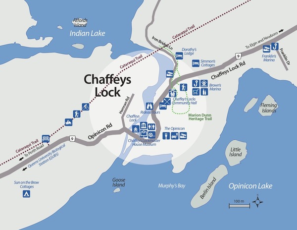
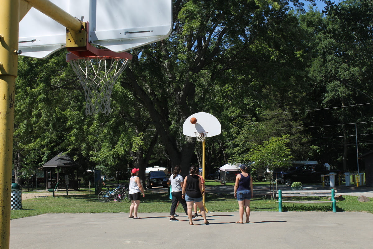
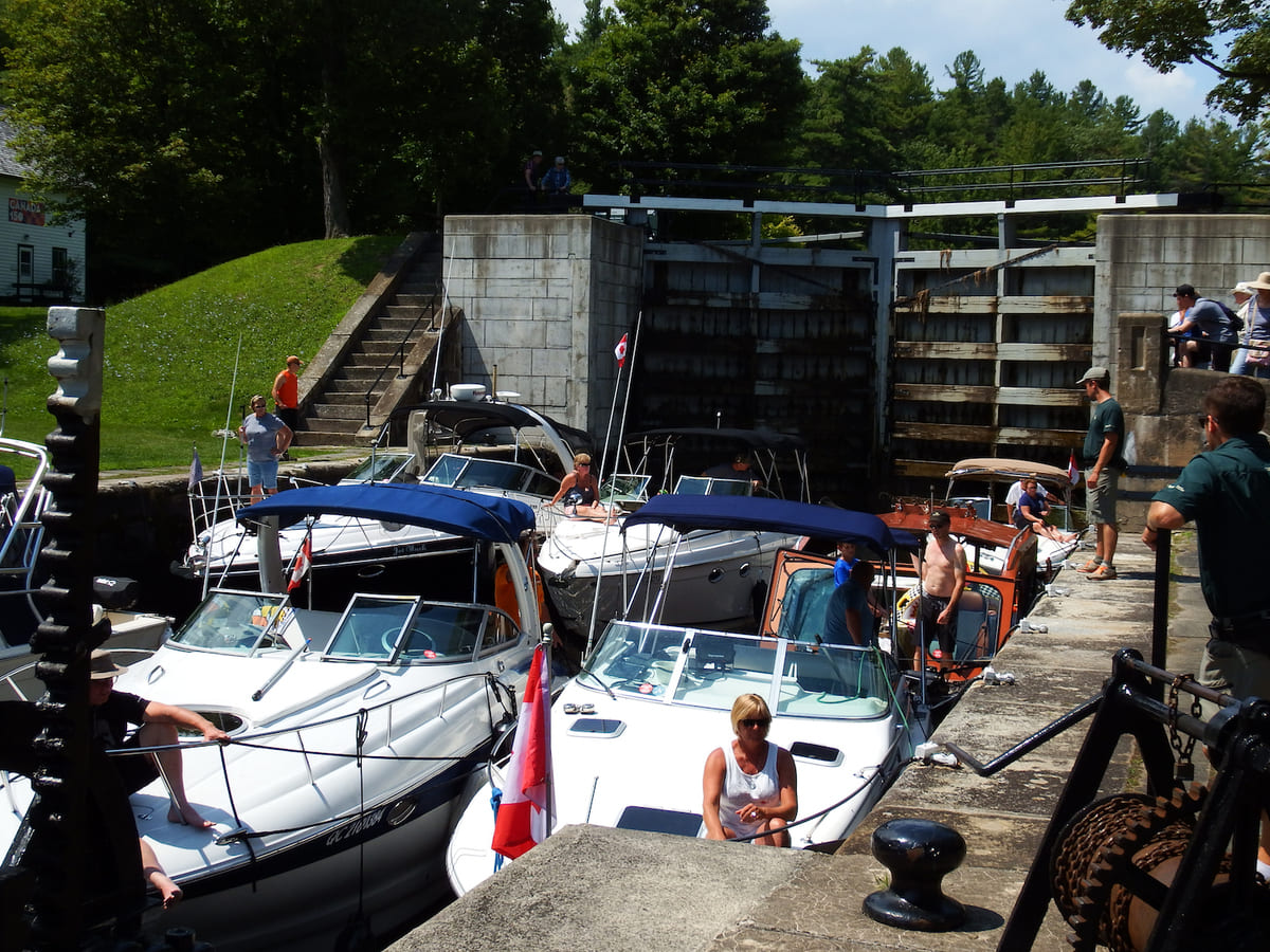
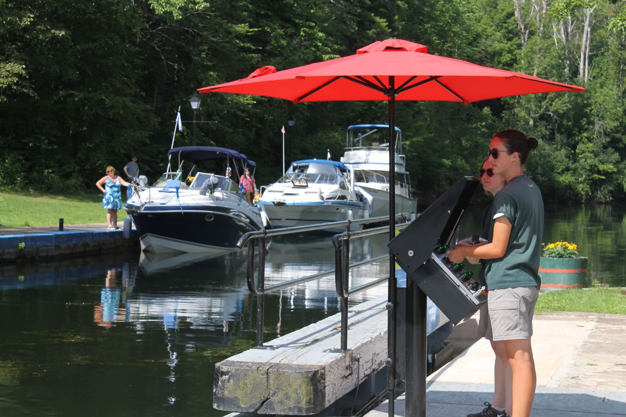
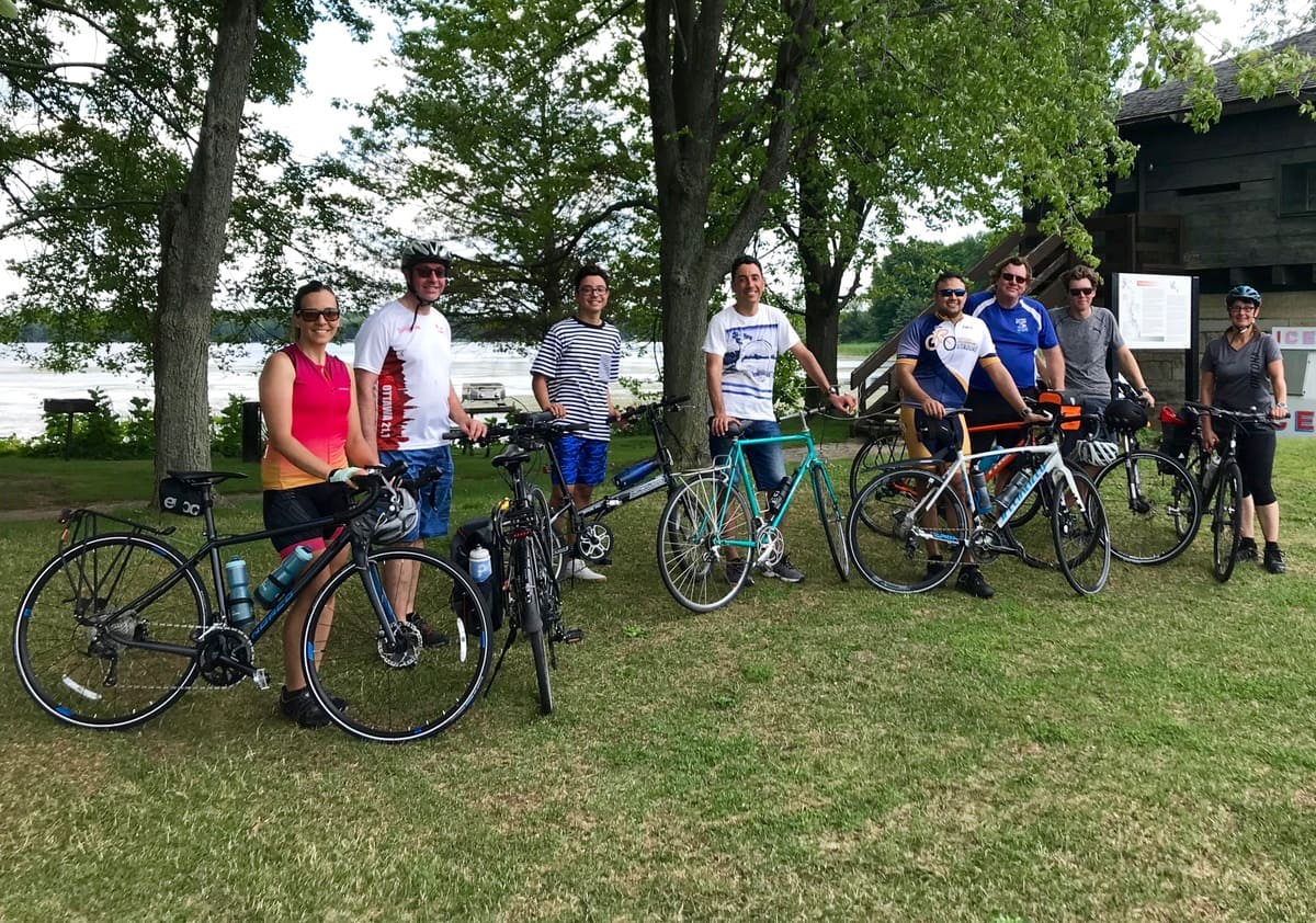
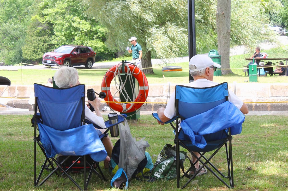
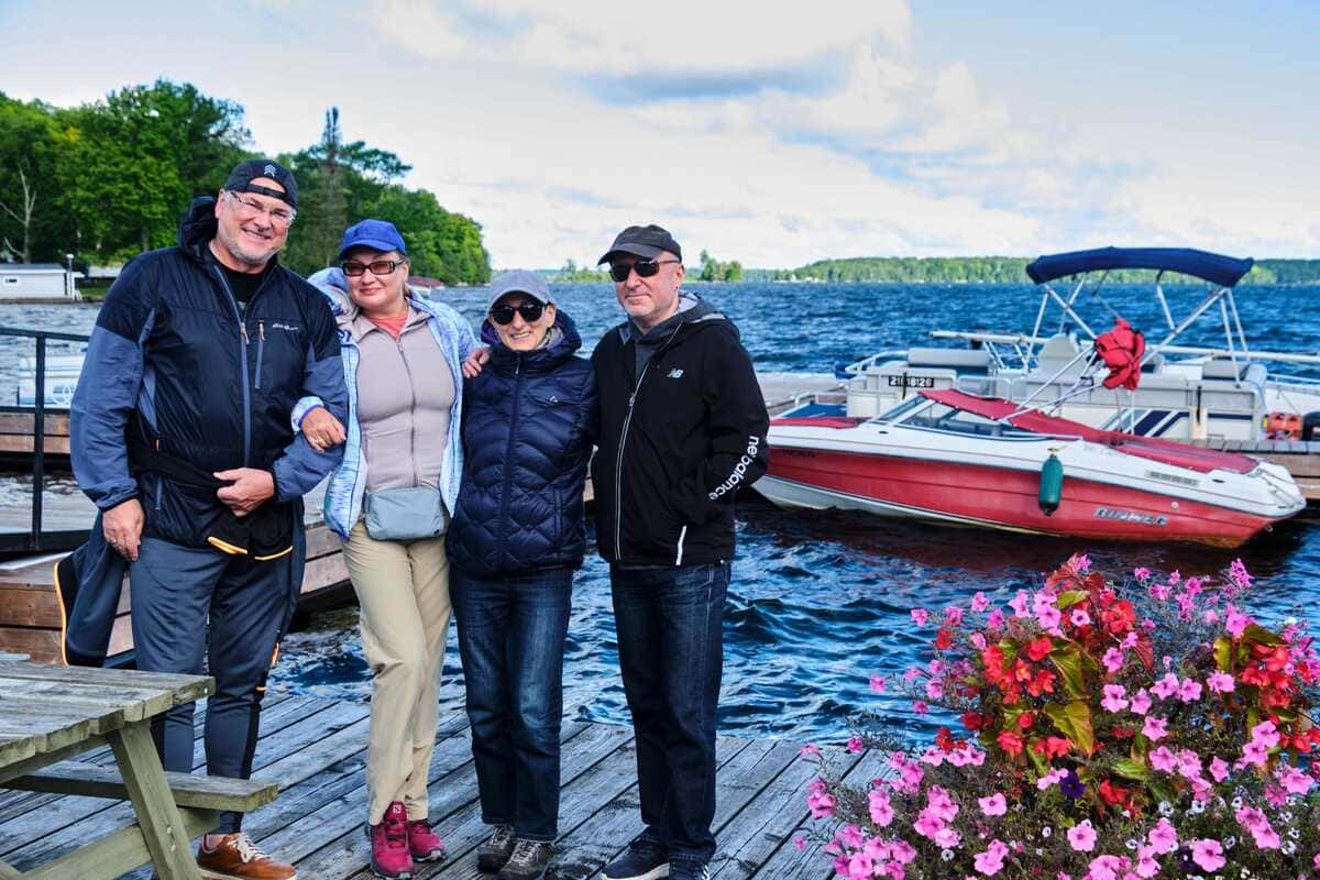
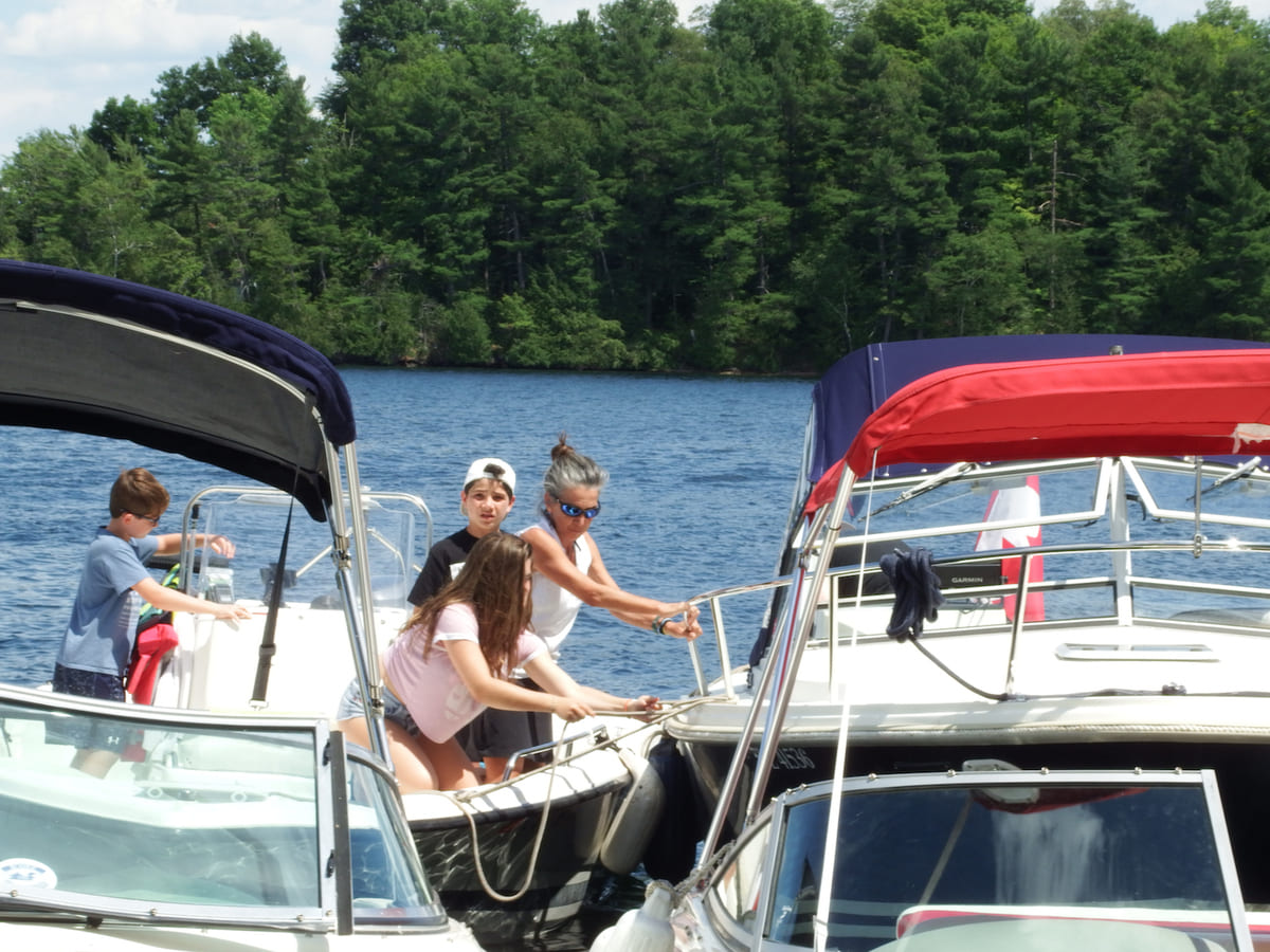
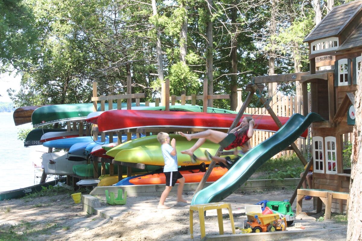
Chaffeys Lock
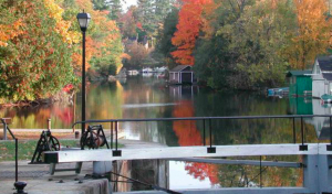
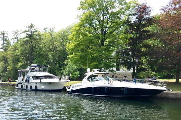


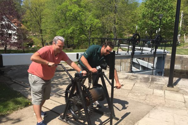


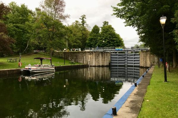
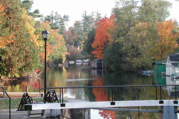
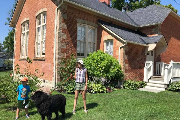
The History of Chaffeys Lock
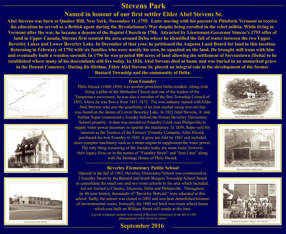
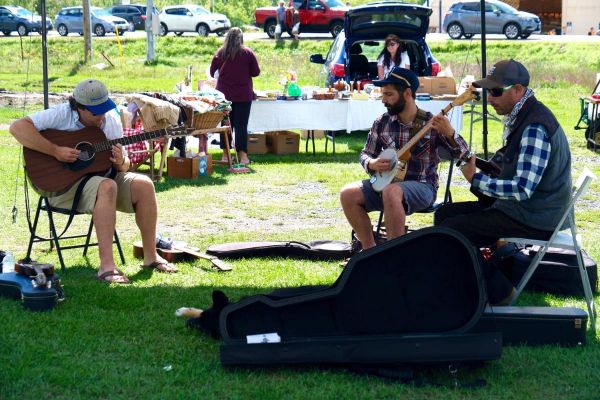
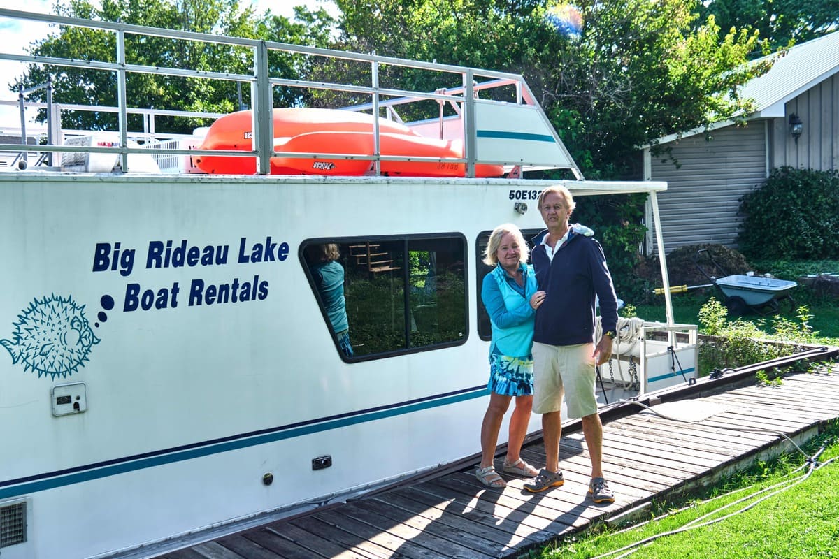
Samuel Chaffey, descendant of a family of woolen manufacturers from Somerset, England, came to Canada with several relatives in 1816. In 1820, he established a successful milling business at the outlet of Indian Lake where the water fell 13 feet (4 m.) in a river leading to Opinicon Lake. By 1829 when Sam Chaffey died of swamp fever (malaria), his milling complex consisted of grist, carding and lumber mills and a distillery, serving an evolving farming hinterland. The construction of the Rideau Canal necessitated the demolition of Chaffey’s mills to make way for the building of the lock and dam. Colonel By purchased the mills from Chaffey’s widow, Mary Ann and his brother, Benjamin. The contracted work was done by John G. Haggart and completed in 1831, and a maze of swamps was transformed into a navigable and picturesque Newboro Lake. Today, Chaffeys Lock is a thriving cottage and tourist community centred with its lock station and its famous resorts that attract tourists from around the world.
Watch the Documentary Film: Fettercairn WWI on Indian Lake
Listen to the Podcast: Story of Tree Fishing in Chaffeys Lock
Look through Historic Photographs of Chaffeys Lock: Lakes and Islands, Time Past
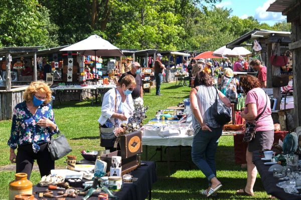
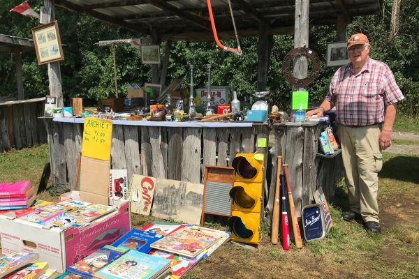
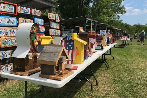
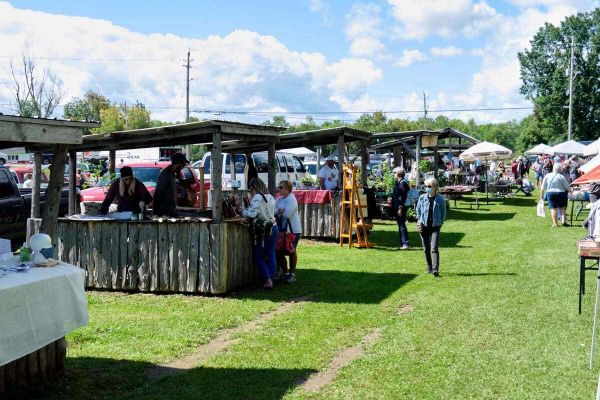
Click on the photo to begin the slideshow

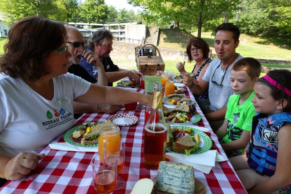
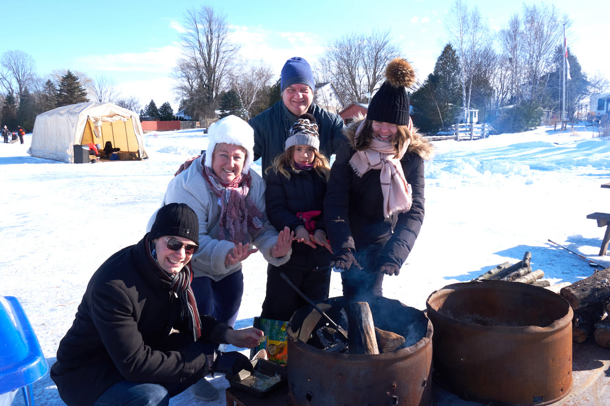
Chaffeys Lock Picnic Guide
Delta
“Delta is a vibrant community rich with heritage and natural amenities. Delta will leverage its assets to foster a mixed community that supports families, seniors, youth, and visitors through sustaining and developing local services.”
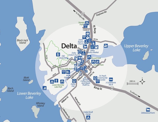
Delta has a beautiful natural rural landscape, is rich in heritage, and is located in the centre of the Frontenac Arch Biosphere, between two pristine lakes.
Click on the photo to begin the slideshow
Currently the village has a library and a recreation centre that includes a rink, tennis court and offers other sports. Lower Beverley Lake Township Park is a family park and offers lots of room for family camping, cottages for rent, a beach and a boat launch, a great playground for children and the village ball diamond.
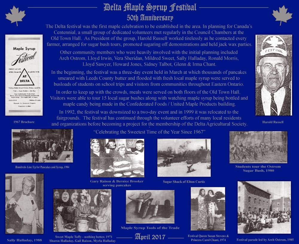
In early April, the Delta Maple Syrup Festival (1967) celebrates that sweet local nectar, maple syrup.
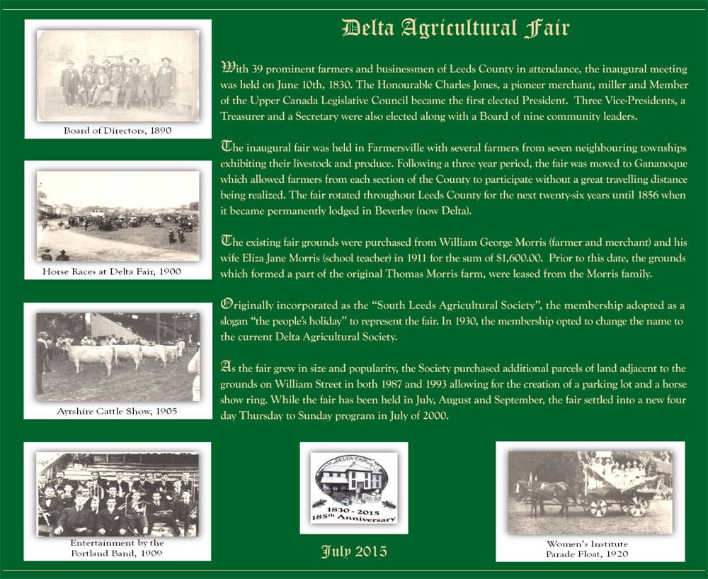
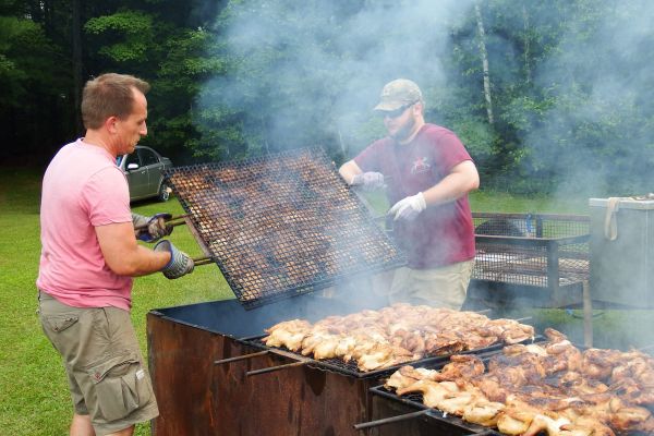
At the end of July, the Delta Fair (1830), one of Canada's oldest fairs, (now 190 years old) is held. Originally an agriculture fair, it has expanded to include many fun activities for the whole family and is a social hub and homecoming. Its agricultural roots remain with events such as home craft judging, tractor pulls, horse pull and shows and the ever popular Midway.
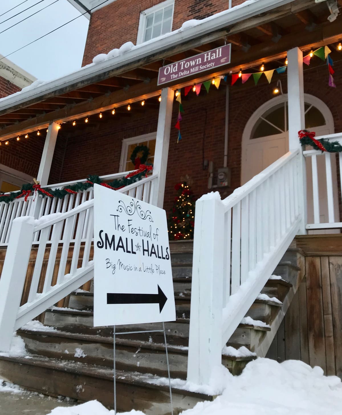
The last Saturday in September is the Harvest Festival (since 2015) centered on the Old Stone Mill with lots of local produce, crafts, and hot apple cider.
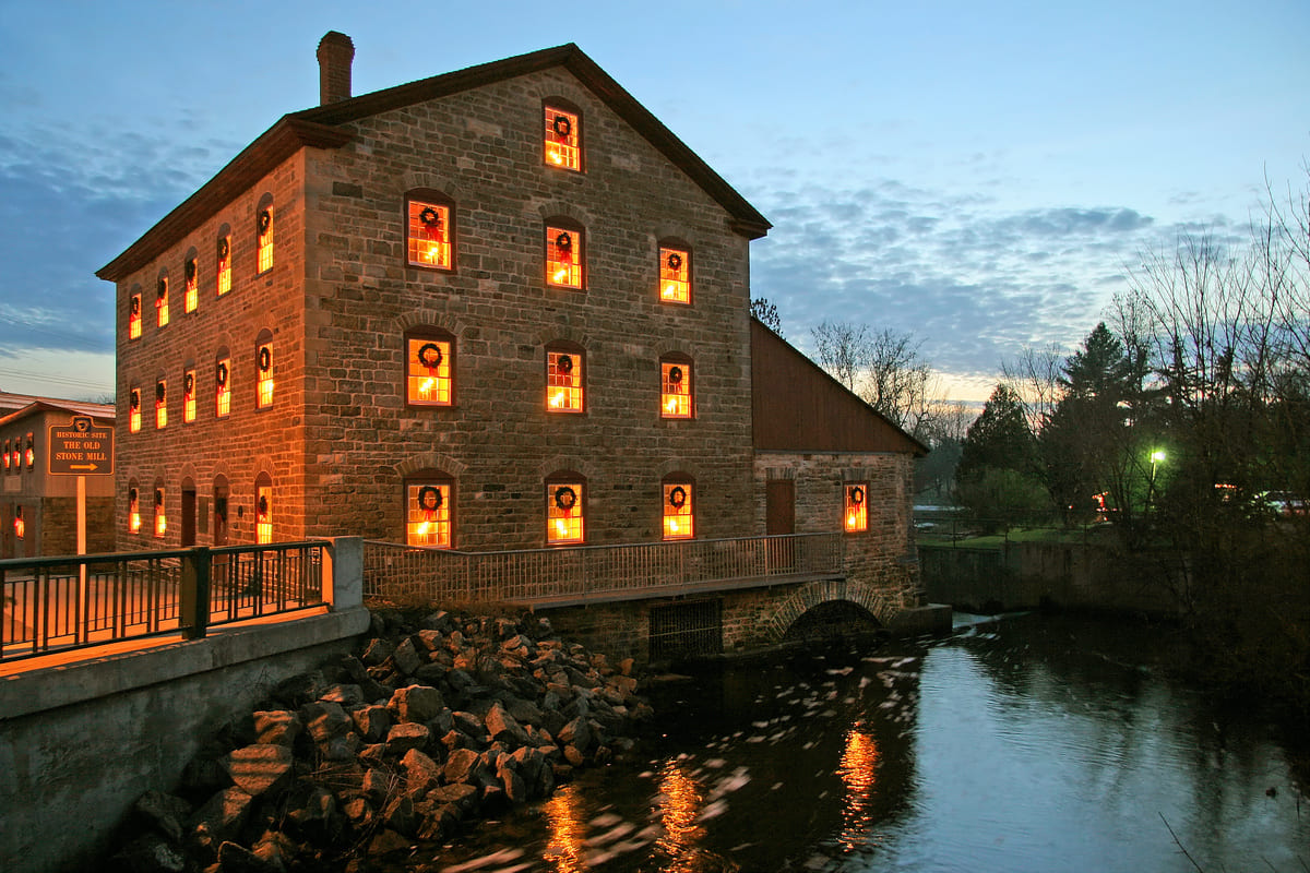
Winter brings Delta’s Yuletide Magic of Lights – beginning the last weekend in November and every evening throughout to the New Year the Old Stone Mill is beautifully lit with “candles” and thousands of Christmas lights are on display throughout the village of Delta.
Along with the Fair and Festivals, Delta has many other attractions and organizations like the United & Baptist Churches, St Paul’s Community Centre, Branch 207 of the Royal Canadian Legion and Auxiliary, Delta Fire Station, Delta Mill Society and many other groups in the community who work together to ensure the success of continuing major events. This vast volunteer network always has room for newcomers.
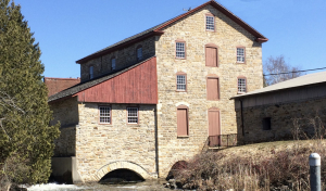
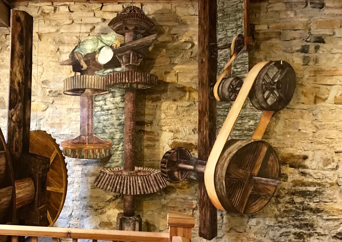
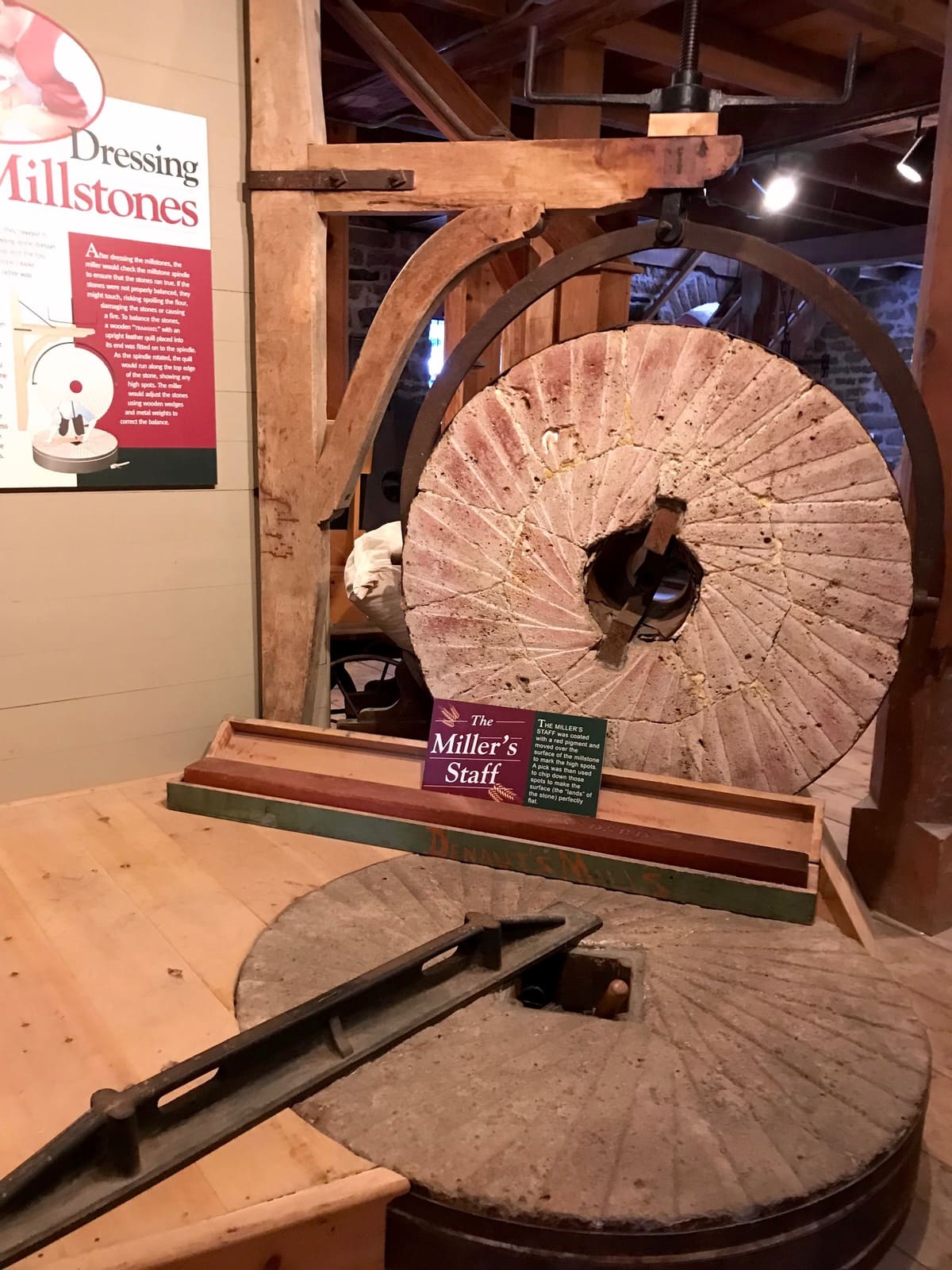
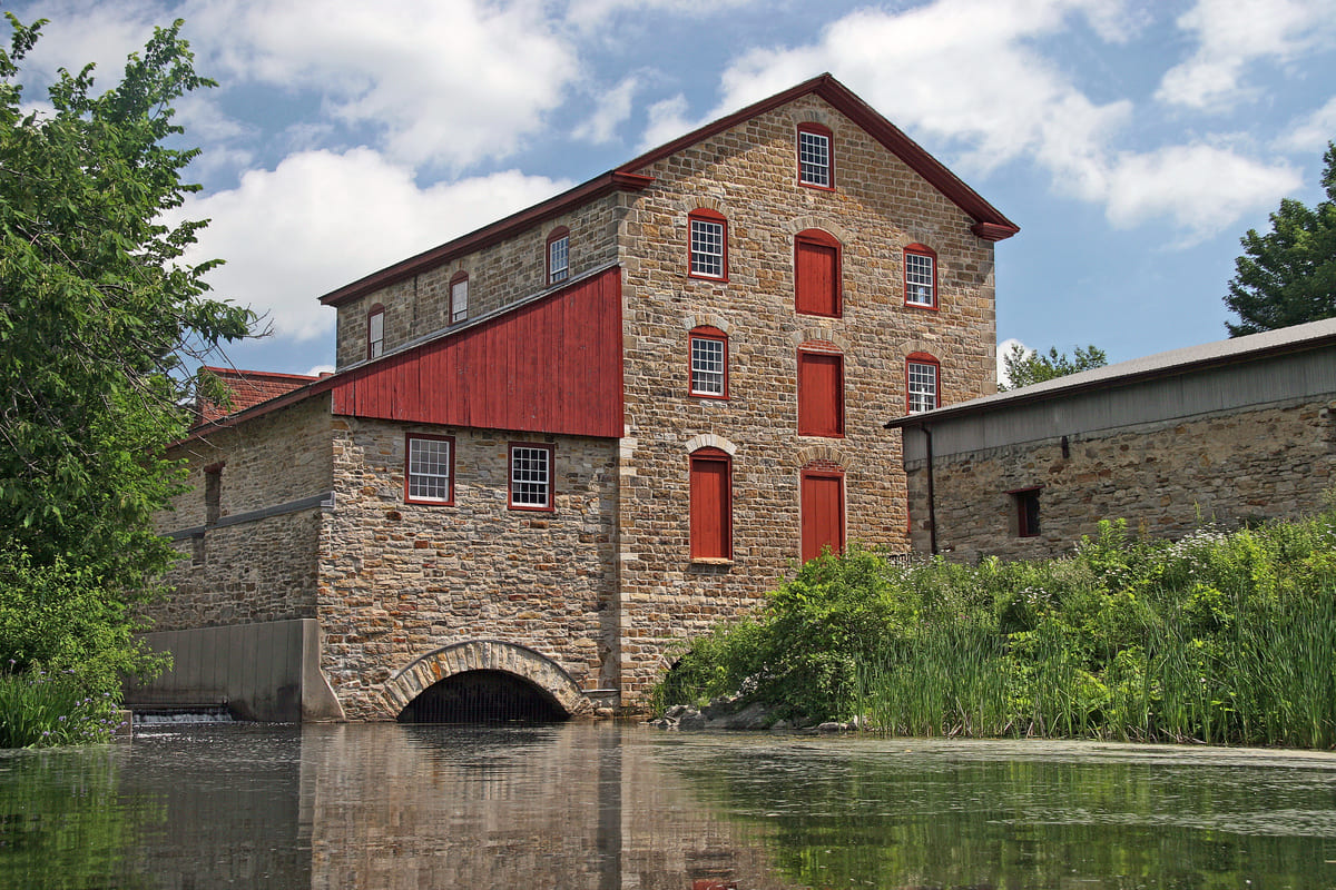
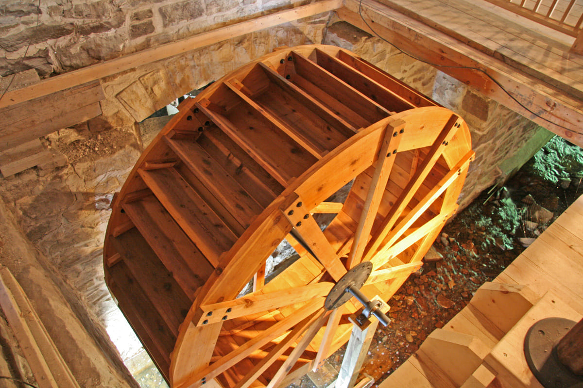
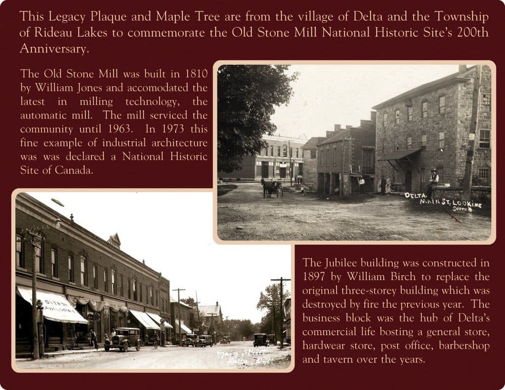
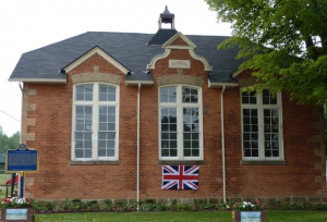
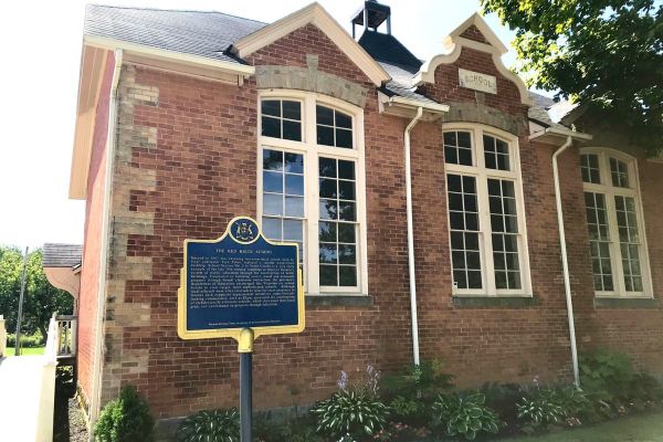
The main attraction in Delta is the Old Stone Mill, built in 1810, now a museum and a designated National Historic Site of Canada that brings people from all over the world. The Mill has been completely renovated and had working millstones installed for its 200th anniversary in 2010. It is open to the public from Victoria Day weekend to Labour Day and on special events, where it continues to grind and sell locally grown heritage Red Fife wheat, offers interpretation, exhibits and employs local students annually to conduct guided tours.
There are public boat launches on both the Upper and Lower Beverley Lakes and access to the UNESCO Rideau Canal is nearby (at Portland and Newboro).
Local services within the Township of Rideau Lakes include Country Roads Community Health Centre and several pharmacies. The urban centres of Kingston, Brockville, Smiths Falls and Ottawa are close by for hospitals, shopping and entertainment.
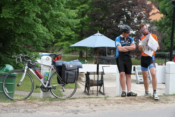
Enjoy delightful walking tours of the village, cycling routes through the scenic countryside and quality paddling on both Upper and Lower Beverley Lakes.
The residents of Delta have always taken pride in their community and no more so than with the creation of the Delta Community Improvement Committee who after the last restaurant closed, decided it was time to revitalize the community. A marketing strategy created the DO Delta Ontario logo, web site and Face Book page. The DCIC’s current project is the Delta Waterfront Project, right in the heart of the community, and across from the Jubilee Block, which is in the process of restoration.
This park will bring a sense of place to the main hub of our community. There will be an accessible ramp so everyone can meander down to the waterfront to just sit by the water or access a boat. There will be better and more stabilized docking, a kayak launch, and an Amphitheatre. Boaters will once again be able to come up the Delta Creek and dock their boats to access the local businesses, community services, and heritage destinations.
Delta is a destination that calls people home and welcomes others to come and see!
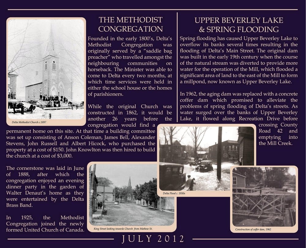
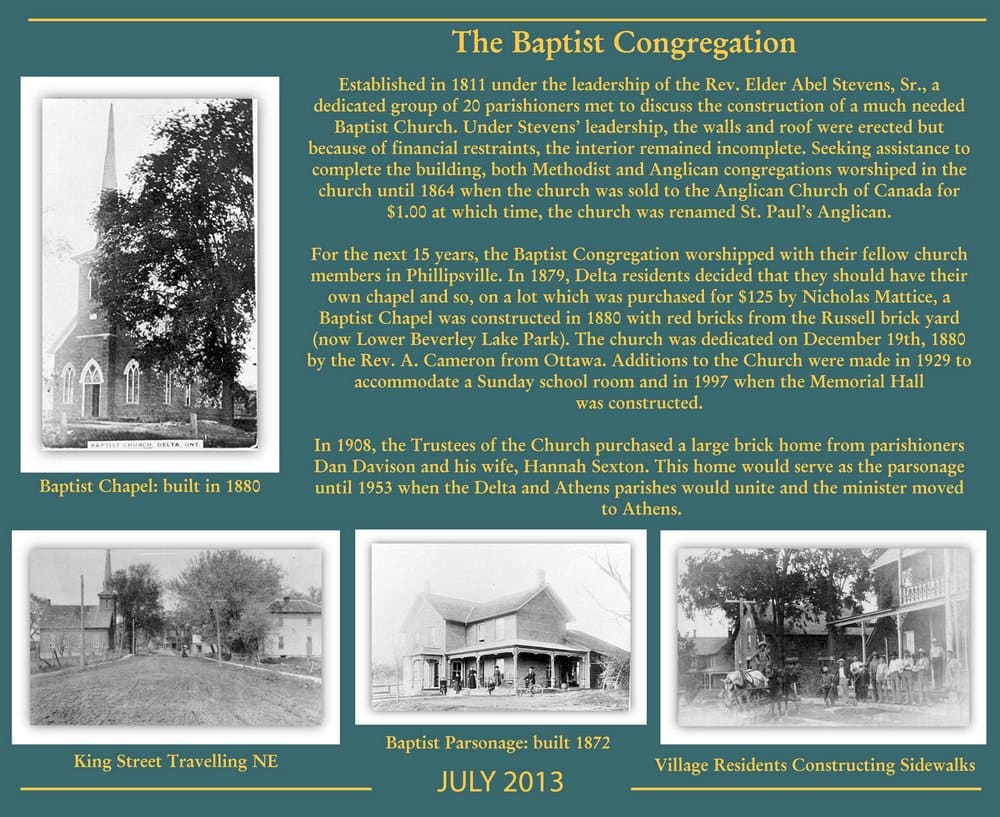
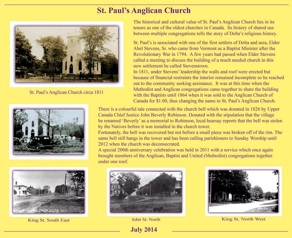
Delta is located on traditional Anishinaabe territory. In February 1794, Able Stevens, a United Empire Loyalist from Vermont, led several families into the area, settling on Plum Hollow Creek. The area was unsurveyed at the time, but after the establishment of Bastard Township, Stevens, in June 1796, was granted land, including the area of today’s village of Delta. Although initially known as Stevenstown, after the opening of the Old Stone Mill in 1812 (built 1810-11), the small village became known as Stone Mills. In 1827 the name was changed to “Beverley” after Chief Justice John Beverley Robinson who donated a bell to the Anglican Church. The name was officially changed to Delta in 1857, since the triangular area between the lakes resembled the Greek letter delta.
Delta prospered as a farming and industrial village, which supported pioneer trades, general stores, smiths, hotels, churches, carriage works, a distillery, brickyard, foundry, cheese factory, tannery, newspaper and even a hospital. For more information about our history please visit www.deltamill.org or www.deltaontario.com.
Documentary Film:
Beverley Riots and a Death in Philipsville
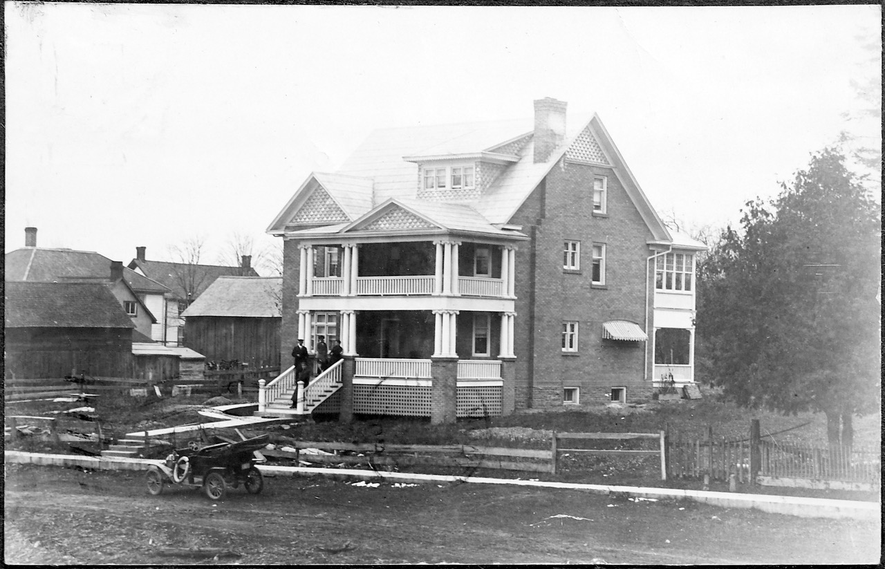
Historic Photographs of Delta:
Video:
Milling Demonstration by Chris Wooding at the Old Stone Mill
Read the Latest Delta Pilot
Elgin
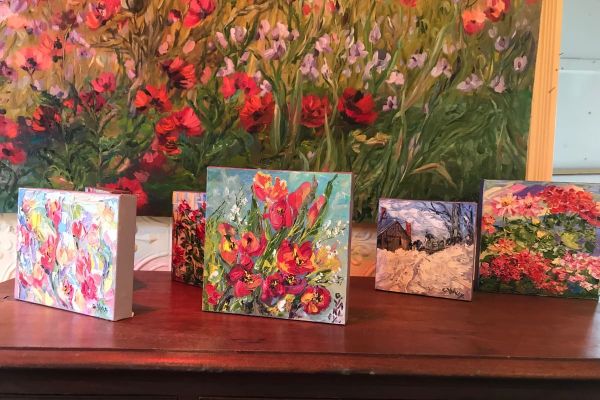
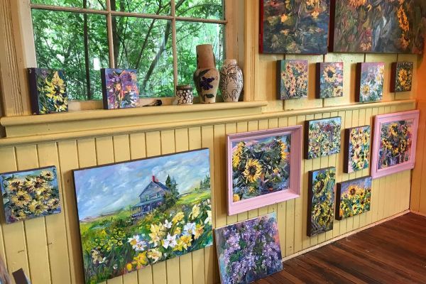
Click on the photo to begin the slideshow
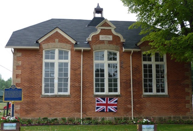
The History of Elgin
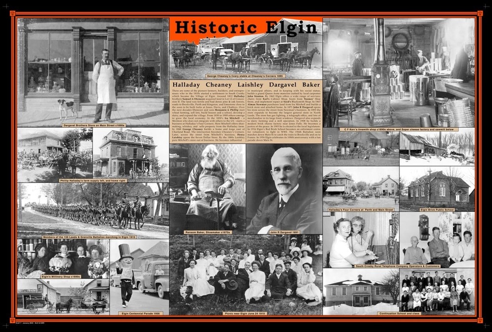
The land on which the community of Elgin grew was first settled in the very early 1800s by farmer-landowner Ebenezer Halladay. For its first decades, it was called “Halladay’s Corners.” Even though the Rideau Canal was constructed some distance away, its construction brought dozens of quarrymen and teamsters to a camp near Halladay’s Corners where they quarried thick strata of Cambrian sandstone. These ashlars were transported to Jones Falls for the construction of the great dam and locks, as well as the locks at Davis and Chaffeys.
In 1841, Mormons from the United States converted many local people to the Mormon faith, and many of these joined the exodus through Illinois to Salt Lake City in 1849. But shopkeeper Ira Mitchel stayed, and for some years succeeded in calling his community here in north Leeds “Nauvoo” after the Mormon community in Illinois by the same name, meaning “beautiful place.”
In 1850 a post office was established and the growing farming community was officially named after the Eighth Earl of Elgin, James Bruce, Governor General of Upper Canada, 1847–1854.
Throughout the latter half of the 19th century, Elgin prospered to become the most prominent village in South Crosby Township. It was, and remains, a thriving service centre for farmers, commuters, summer residents and visitors to the surrounding lakes.
Watch the Documentary: Yours Truly, Clifford Pennock
Listen to the Podcast: Story of the Elgin Quarries
Look at Historic Photographs of Elgin: Lakes and Islands, Times Past
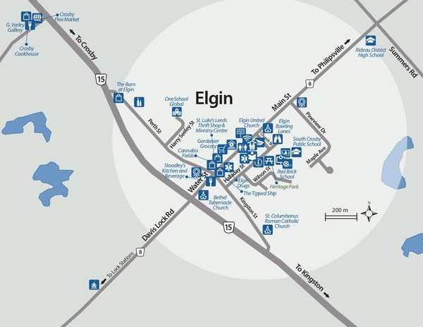
Elgin is situated just off Highway 15, in the heart of corn country. It offers many services for both the visitor and local resident. There are three churches in town, a library, a public school and a regional high school. The local population is about 300 but, in the summer, Elgin serves as the hub for several thousand cottage residents.
Elgin Days is an annual festival with a parade, flea market, barbecue and more. It is usually held on the second weekend of July.
Storyboards
View three Elgin Storyboards: “1. The Artistry of Clifford Pennock” , “2. The World of Clifford Pennock", and “3. Historic Elgin”.
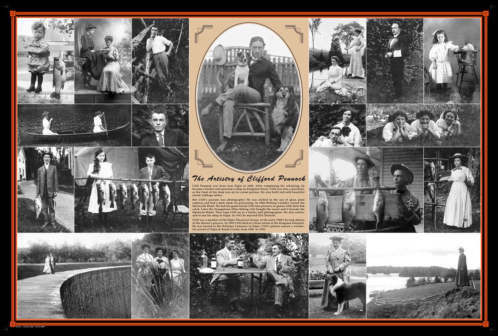
Click on a plaque to enlarge
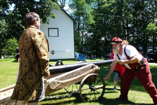
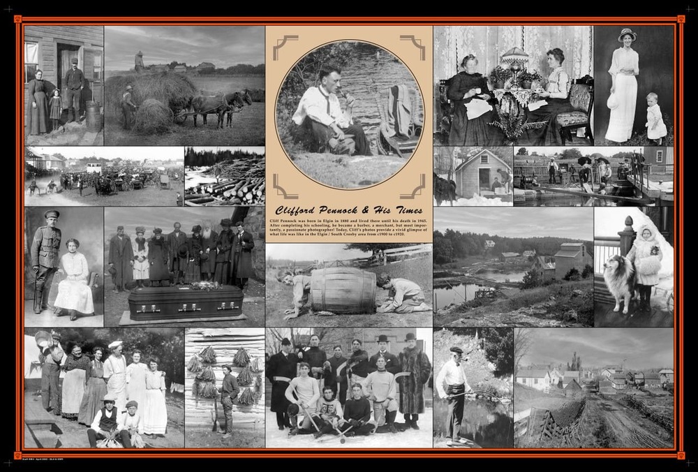
The Amazing World of Clifford Pennock
A feature documentary on the life and photographic art of Clifford Pennock. Born in Elgin Ontario in 1880, he became the "Karsh" of his times. He brilliantly captured life in South Crosby in the early decades of the 1900s.
The program has 8 chapters:
- Meet Clifford Pennock @ 02:03
- Sport Fishing @ 06:53
- The Portraits @ 10:14
- Landscapes @ 17:09
- The Children @ 21:58
- Darkroom Magic @ 26:53
- South Crosby Life @ 30:30
- A Master Beyond His Times @ 40:53
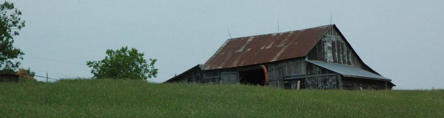
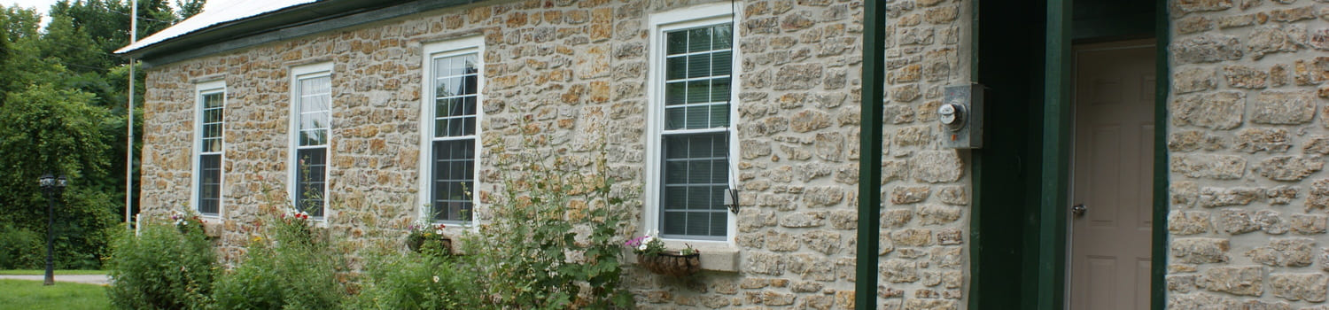
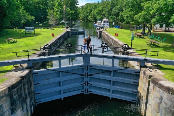
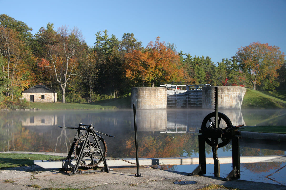
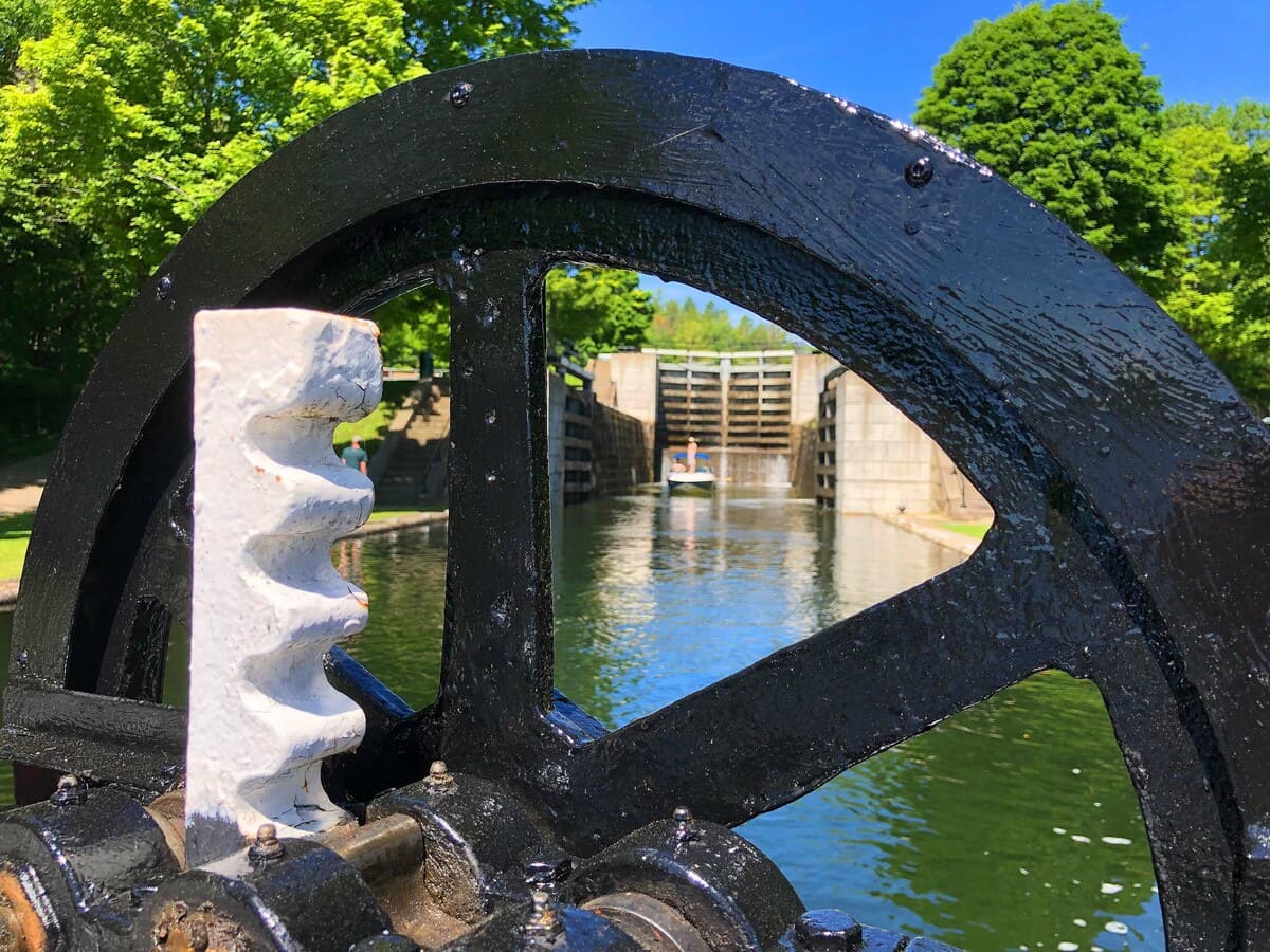
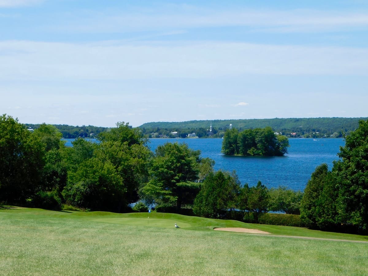
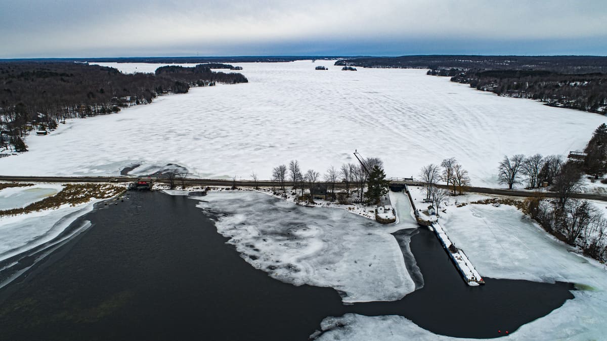
Jones Falls / Morton
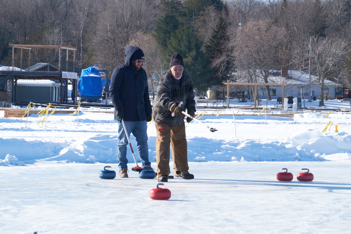
Jones Falls - Morton Picnic Guide
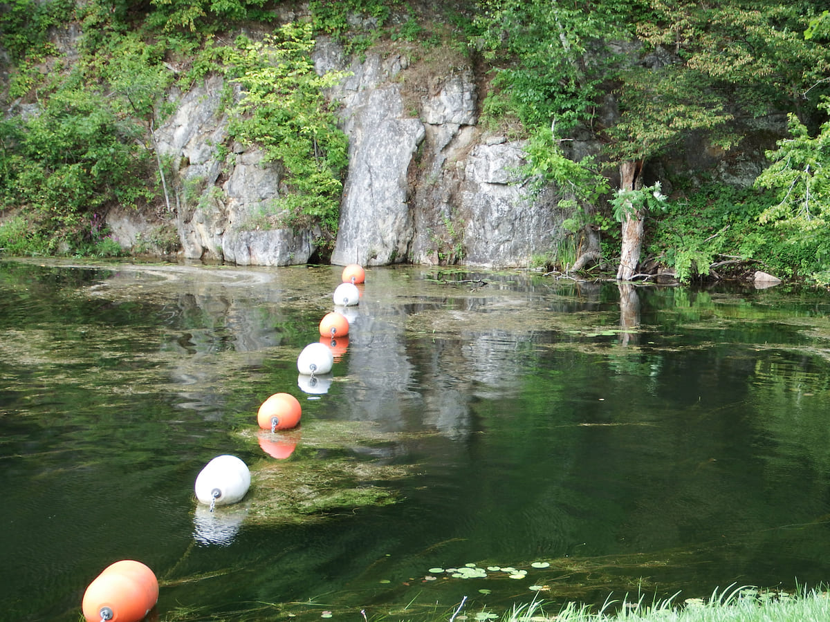


Click on the photo to begin the slideshow
The History of Jones Falls and Morton
Jones Falls
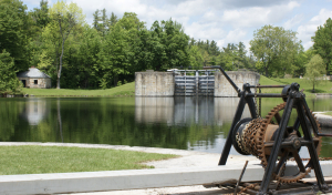
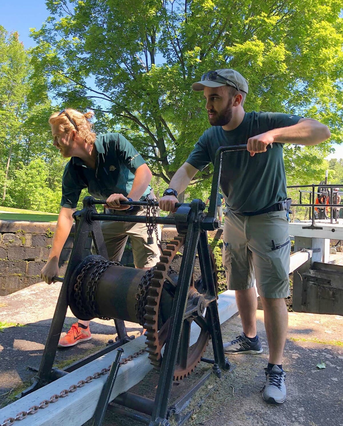
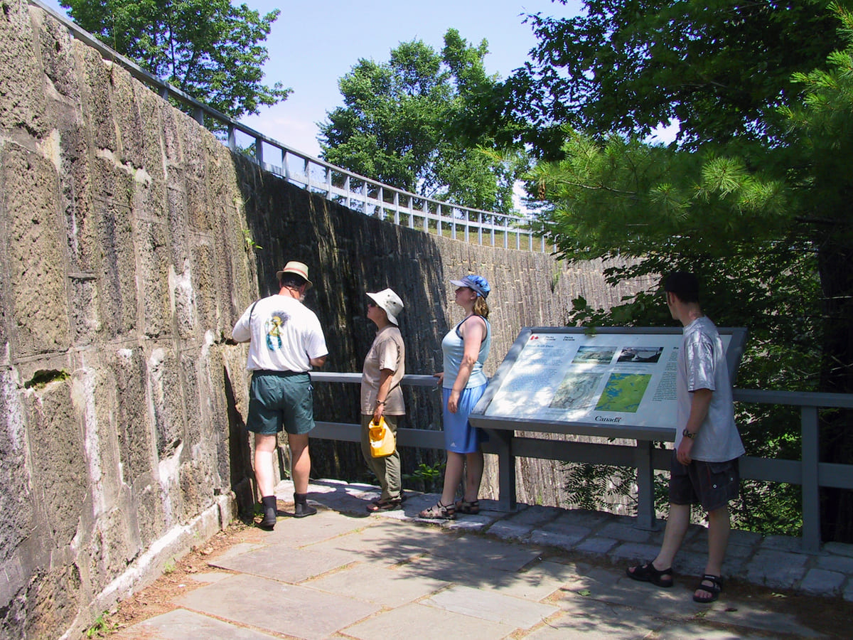
Countless moons ago, Indigenous people lifted their birch bark canoes from Sand Lake and portaged past roaring rapids, down a mile-long canyon to put into Whitefish waters and the Gananoque River to the St. Lawrence. Local land and landscape changed radically with the building of the Rideau Canal (1827-32). At this site, one of the greatest challenges of the canal’s construction was the building of a great arched dam, 19m. high and the largest of its time in North America. This dam held back the water of a much larger and deeper Sand Lake and provided navigable depth to the locks. The four massive locks could take steamboats and barges down to manmade Whitefish Lake, created by a dam built at Upper Brewers. This dam turned a seasonal river and marsh into a navigable body of water en route to Kingston. A defensible lockmaster’s house was added in 1841 to protect the canal and the region from invasion by the still-feared Americans to the south. From 1845, a resident blacksmith began hammering repairs to essential ironwork. The Jones Falls lock station has been kept largely the way it was in the 19th century and is one of the most attractive on the canal. The way-of-life of an early lock station has been vividly chronicled in the logbooks of Peter Sweeney, first lockmaster at Jones Falls. At the foot of Jones Falls is the legendary Hotel Kenney which has served shippers and travellers, fishers and vacationers, from 1888 to the present.
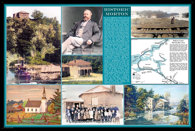
Morton
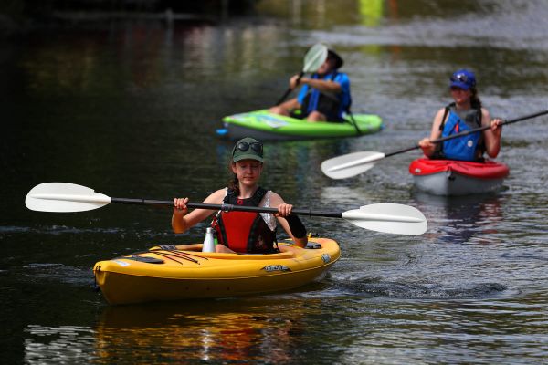
At one time called “Whitefish Falls”, George Morton purchased the water rights and the adjacent land in 1851. He registered a plan for a model village in 1857 and by 1861, had built saw-, grist- and plaster-mills, powered by Whitefish Falls. A garrison fort protected travellers and traders, smiths and families from feared Yankee invaders bent on Manifest Destiny. A warehouse beside Morton Bay transshipped Morton’s wealth down the Rideau while steamboats brought produce and travellers up Whitefish (Morton) Creek from Delta and Lyndhurst. Mr. Morton even added a model farm and cheddar cheese factory to his model community. But when the managers of the Rideau Canal needed water for locks, Morton’s model mills sat idle. After a couple decades of disappointment, Morton had to sell off his economic interests. Now, a century later, ghosts and a few beautiful buildings persist from his visions. His brick schoolhouse, built in 1853, was design to incorporate the most current of educational philosophy and hexagonal design. Used as a school until 1900, then as a residence, “The Pimple” survives as one of the most unique buildings in our Township. Also surviving is George Morton’s General Store, the oldest of its type in the Township, serving the neighbourhood until recently from the time of its construction in 1855. The Amos Judd House was also built in 1855, and occupied and later owned by Amos Judd, agent for Morton’s many business interests. The James Manuel house, built in 1858, is very similar in design to the Judd house, with the same distinctive wide gable. Its brick cladding was later covered with stucco. Now, instead of rumbling mills, Morton radiates wonderful flat-water routes for canoe and kayak in four cardinal directions.
Storyboard:
Podcast: Story of the Morton Pimple
Historic Photographs of Morton: Lakes and Islands, Times Past
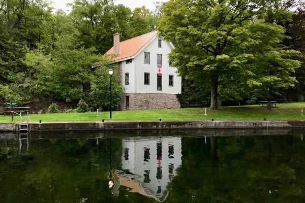
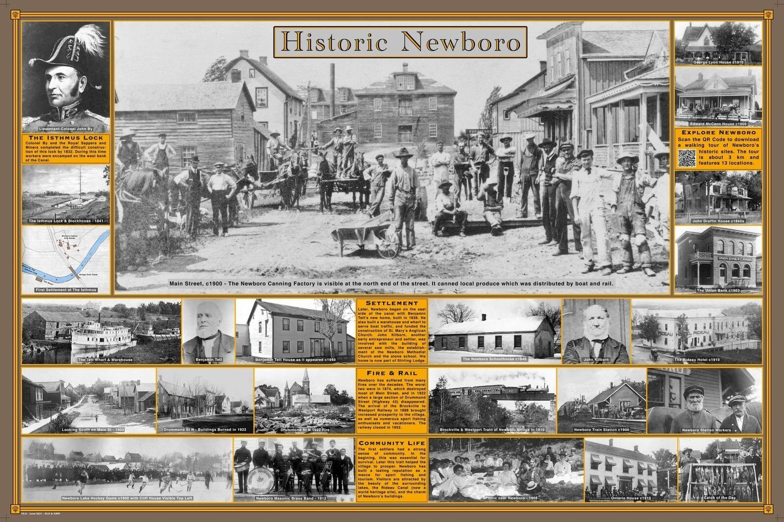
Newboro
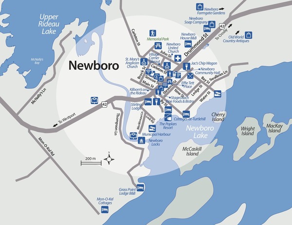
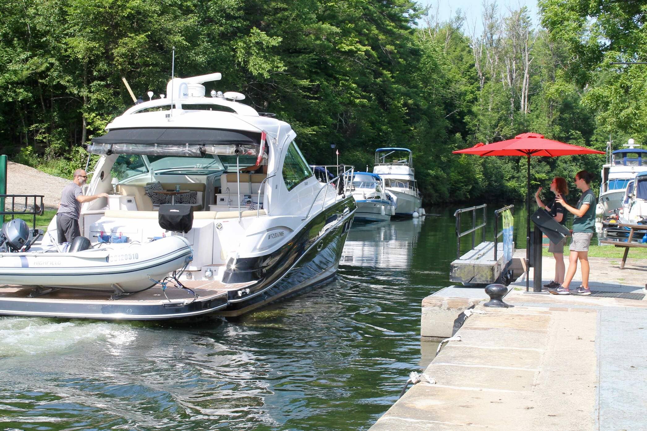
A small community located on County Road 42, Newboro is a popular destination spot for anglers wishing to land one of the many Largemouth Bass that inhabit Newboro Lake. Located adjacent to the Newboro lock station on the Rideau Canal, Newboro is also a popular stop for boaters. It is a good place to shop or to dine at one of the local restaurants or inns.
Newboro is the site of one of the four blockhouses built by Colonel John By to protect the Rideau. Whether you come by boat or by car, the lock station is a nice place to stop, get out, and stretch your legs. Also, check out the Newboro Loon, located in "downtown" Newboro.
Click on the photo to begin the slideshow
The History of Newboro
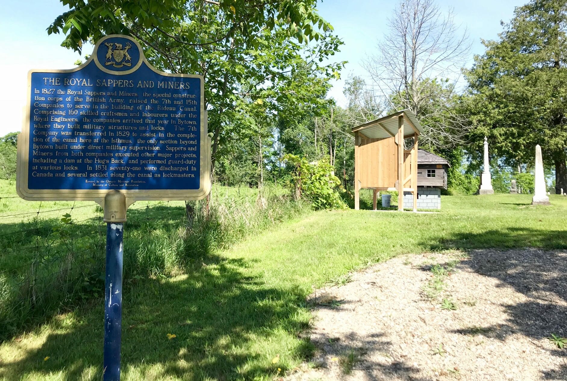
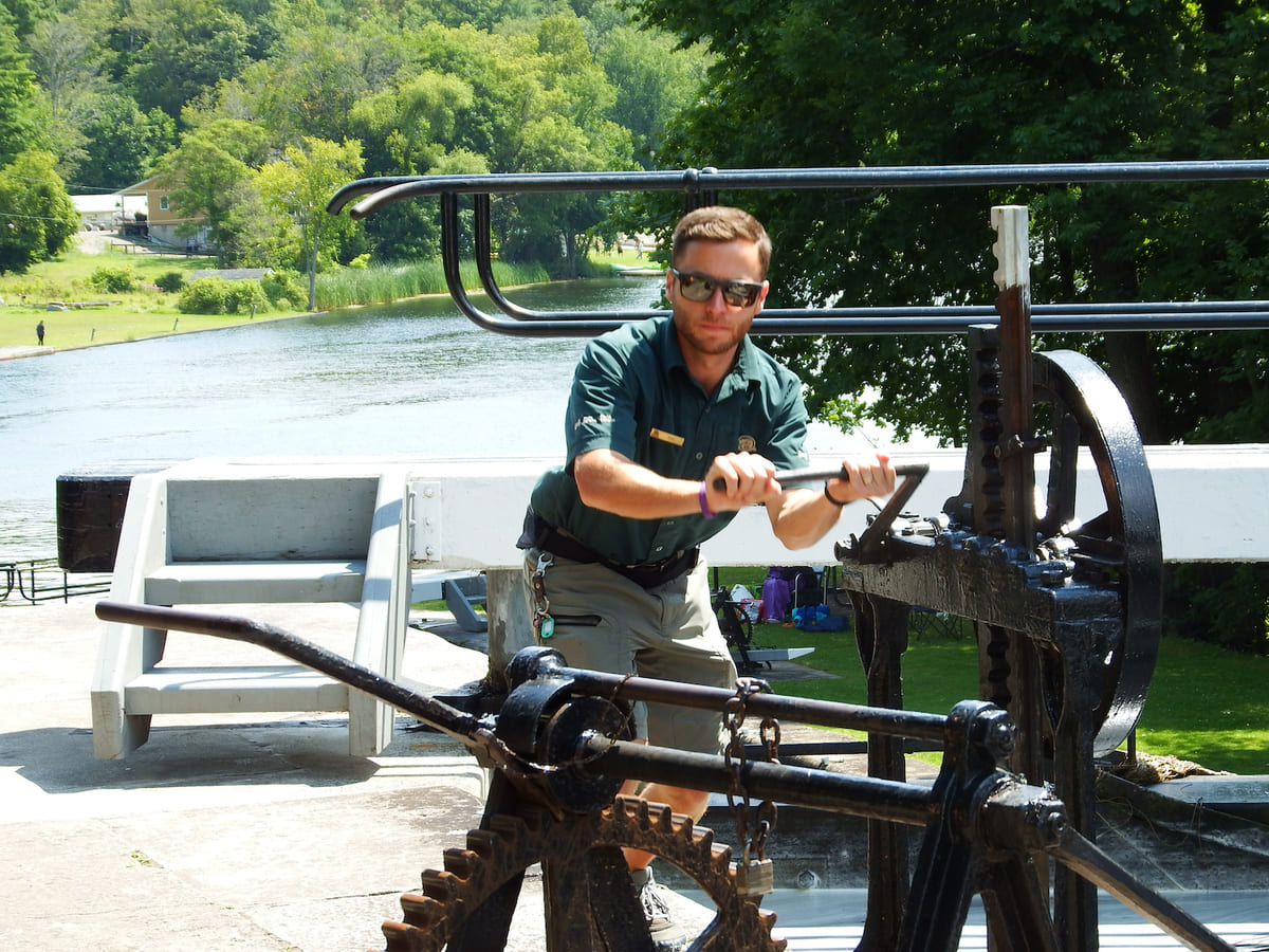
During the construction of the Rideau Canal, it was necessary to dig a two-kilometer-long channel to span the isthmus that separated Rideau Lake from Mud (Newboro) Lake. This channel linked the navigable waters of the Rideau River System, which flows northward to what later became Ottawa, with the Cataraqui River System, which flows southward to Kingston, the St. Lawrence and Great Lakes. This cut through the isthmus proved to be one of the most difficult works undertaken in the building of the canal as it necessitated excavation through the ridge of limestone and Canadian Shield granite that formed the height of land separating these two river systems. Many lives were lost to accidents and swamp fever (malaria), and several contractors went bankrupt. Ultimately the excavation was completed under the supervision of the 7th Company of the Royal Sappers and Miners between 1829 and 1832, allowing boats to travel the length of the canal from Ottawa to Kingston. The lock station at Newboro was originally called “The Isthmus”.
A community grew up on the east side of the canal where a toll ferry, and later a bridge, took travellers across the channel. A block house or fort was added and garrisoned for several decades against feared Yankee invasion. Today, Newboro Lock is one of only three in the Rideau System that has hydraulically-operated steel gates.
Located at the junction of the canal, a ‘stone road’ and later a rail line, Newboro thrived and grew as a meeting and commerce centre through the 19th century. Although it suffered several devastating fires, many of Newboro’s original buildings survived. Today, they anchor the character of this community as part of the Rideau Canal – UNESCO World Heritage Site and its reputation across North America as a mecca for recreational fishing in summer, festivities on snow and ice in winter, and shopping all year round.
Storyboards
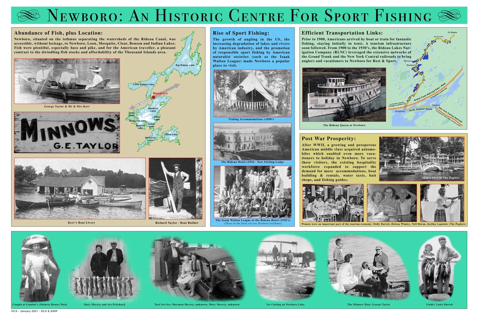
View two Newboro Storyboards: 1. Historic Newboro and 2. Newboro - Historic Centre for Sport Fishing.
Click on a plaque to enlarge
Documentary Film: The Rideau Canal: The Big Breakthrough
Historic Photographs of Newboro: Lakes and Islands, Times Past
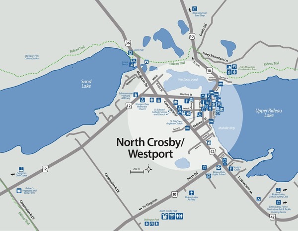
North Crosby / Westport Area


Click on the photo to begin the slideshow
The History of North Crosby
The history of North Crosby Ward stems, in many ways, from its geology and geography. Between 1,600 and 400 million years ago, the region’s rocky foundations were formed by the “mountain-building” period of continental collisions, by the actions of tropical seas, by millions of years of erosion, and by what is known as the Rideau Lake Fault. These prehistoric phenomena yielded the exposed bedrock of the Canadian Shield in the north of today’s ward, as well as the limestone and shale in the south. As the glaciers receded, 12,000 years ago, they scraped away much of the topsoil on what has come to be known as “the Mountain.” The glacial meltwater accumulated to create a vast inland extension of the Atlantic Ocean called the Champlain Sea which covered the southern part of the ward, until it too receded 6,000 to 8,000 years ago. Between these two geologically distinct northern and southern regions of the ward, a string of lakes formed along the Rideau Lake Fault line: Wolfe Lake, Sand Lake and the Rideau Lakes. One of Ontario’s major watershed divides cuts across the ward, forming a height of land that continues to send the waters of those three lakes north to the Ottawa River, while the waters to the south of the divide flow south to Lake Ontario.
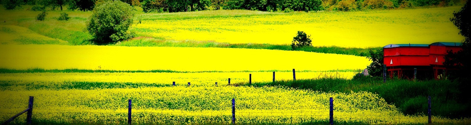
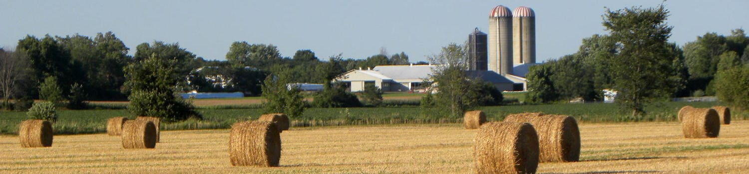
The first Europeans came into the region up the Rideau River system, led by Mississauga guides in 1783. The land around the portage from the Rideau system into Mud (later Newboro) Lake was described by these early explorers as “too rocky to cultivate.” However, the southern plain ultimately provided farmland to settlers, the first of whom arrived in 1819. These settlers were a combination of British immigrants, migrants from other British colonies, such as Nova Scotia, and decommissioned soldiers from the War of 1812. Also, Canadian-born offspring of the earliest settlers near Lake Ontario and the St. Lawrence River came, seeking land, and moved into what was still a wilderness in the ward. As farming grew in the ward, numerous mills sprang up, powered by the rivers of the local watersheds.
The proximity of these watersheds to each other, and their water volume, were deciding factors in the choice of a route, in 1826, for the canal linking Bytown and Kingston. But despite that proximity, the height of land at the Isthmus – the area around what later became Newboro – had to be excavated to link the two watersheds. This cut, through Precambrian bedrock, presented one of the greatest challenges of the Rideau Canal construction. Its completion came at the cost of the lives of labourers, as well as soldiers from the 7th Company of Royal Sappers and Miners, who died as a result of accidents and malaria. Nevertheless, these soldiers and labourers, along with their families, formed another influx of residents, some of whom settled in North Crosby.
The depth required of the excavation at the Isthmus was reduced considerably by an ingenious engineering decision. The water level on the north side of the Isthmus was raised by building a dam and another lock partway down the long expanse of what was then called Rideau Lake. A natural narrow and shallow point had long provided a ford across the lake at what was called The Upper Narrows. The dam and lock station at The Upper Narrows, now called Narrows Lock, created what is today Upper Rideau Lake. It flooded enough land to allow water from the Rideau watershed to fill the cut at the Isthmus as well as the lock station there, which, when opened, allowed boats to pass into the southern watershed. This lock station at the Isthmus, now called Newboro Lock, controlled the water at the top of the Rideau Canal system, which opened in 1832.
In 1836, the year before the Upper Canada Rebellion, Benjamin Tett and Juliana Poole built the first house in what would become the town of Newboro. Around the same time, several homes were constructed on the land that would become the town of Westport, in the vicinity of the two mills that had been built 10 years earlier.
While local farms grew wheat and potatoes for their own consumption, the Rideau Canal provided the means to carry North Crosby’s timber to wider markets. Log rafts and sawn timber left North Crosby throughout the 1840s. The land was quickly cleared, creating a barren landscape quite different from its reforested appearance today.
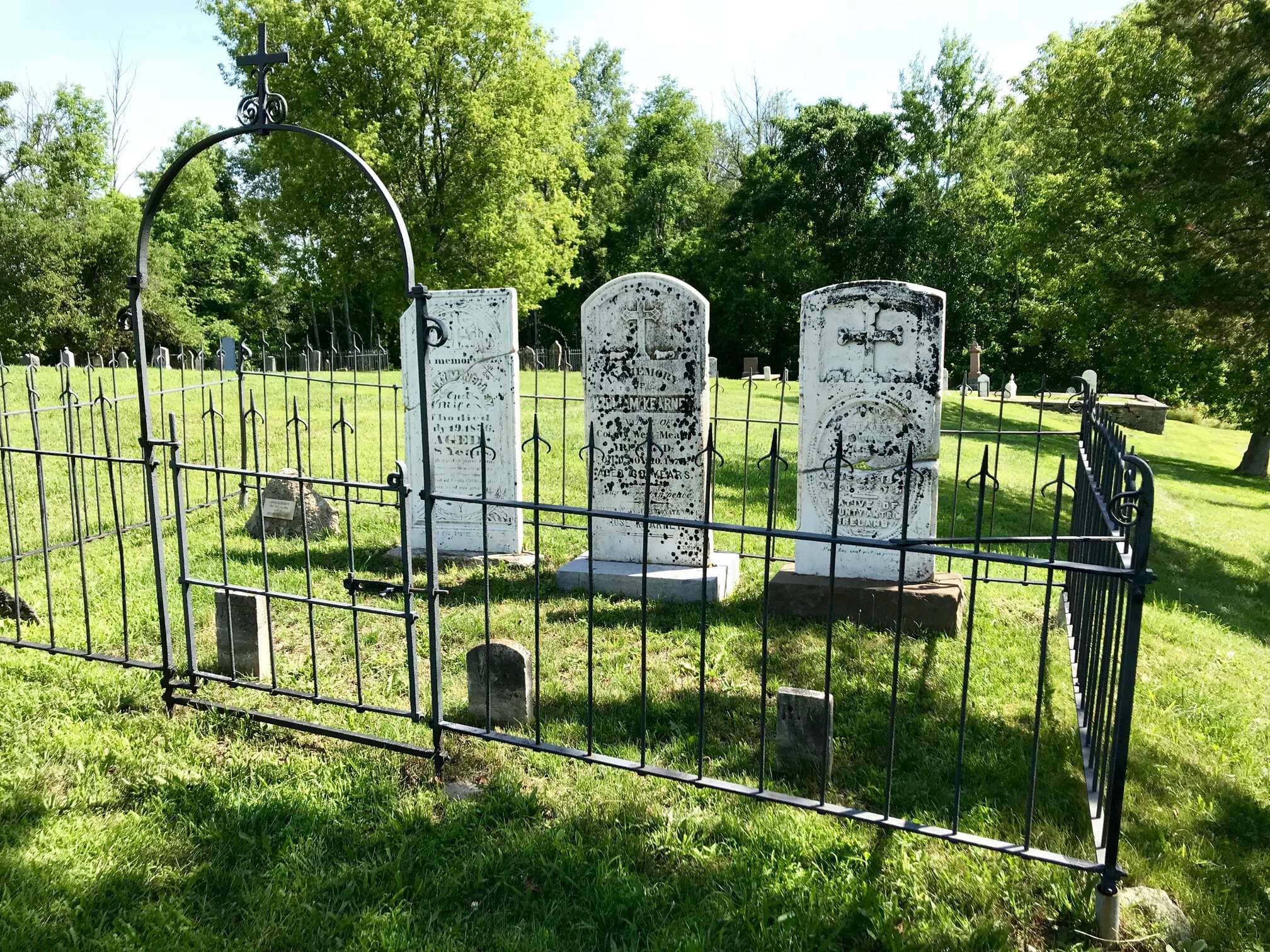
The canal also opened the doors to an influx of new immigrants. In 1847, thirty thousand Irish farmers came, fleeing the potato famine in Ireland the previous year. Eager to have their own land, some were able to settle near family or friends. But others who came without land or contacts squatted on a few acres on the still-largely-unsettled Mountain. This was a wilderness with which they had no experience, with poor, rocky land for farming, and some did not survive.
On other more established farms in the southern part of the township, the rock became an asset. The expertise of early Scottish stone masons is still evident today in the many stone houses that dot the countryside. Churches, one-room school houses, mills and cheese factories were also built, initially of logs, and then wood frame and stone construction. Some of these structures remain today, and many have been converted into private residences.
Through the 1850s and onward, farms began to produce surpluses that were taken to markets, initially via the canal, and later by rail. Wheat, corn and oats, butter and cheese, pork, potatoes, wool and lumber were all transported. As the farms became more prosperous, local towns grew up to provide the specialized services and manufactured goods they needed. Newboro and Westport had foundries, blacksmiths and tinsmiths, masons, tanners and shoemakers, seamstresses and tailors, mills for various purposes, general stores and more specialized merchants, harness-makers, wheelwrights and wagon-makers, distilleries and breweries, inns and a post-office, and more.
Religious rites were initially provided by travelling priests and ministers from regional Catholic and Protestant missions. The first structure built for religious services in the ward was wood-frame, in the 1830s, in what became Westport. It was used as a school and by local Baptists and Methodists. The first Catholic church (and school) in the ward was a log structure built in 1840 on the Mountain, the site of which can still be found today on Parish Road.
From 1858 to the early 1870s, tens of thousands of tons of iron ore was extracted from two mines near Newboro: the Matthews Mine and the Chaffeys Mine, as well as a couple of smaller mines in the ward. Most of the ore was shipped through the canal and on to Pittsburgh and Cleveland. There were also several phosphate mines, the largest of which was in the northeast of the ward.
In 1888, the Brockville, Westport and Sault Saint Marie Railway came to the ward and for a time rail and canal vied for the business of carrying passengers and freight. Rail overtook the canal as the main mode of transport, but with the arrival of private cars and trucks, and an expanded network of roads, the railway eventually disappeared.
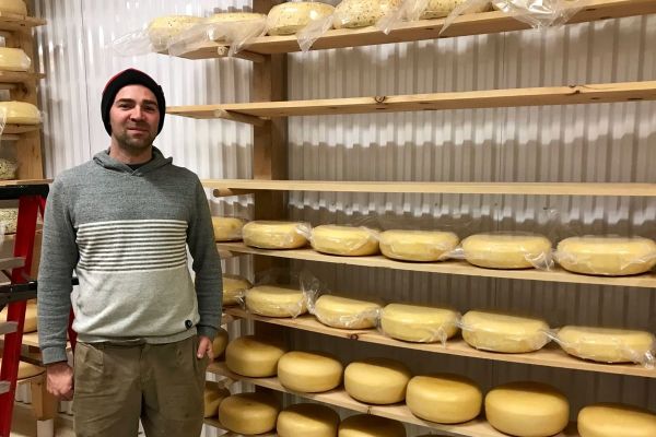
In 1910, the ward and areas bordering it had forty-two cheese factories. They were supplied milk by 1,042 local dairy farms and produced over four million pounds of cheddar. The cheese was initially shipped out by canal boat, cooled by ice cut from local lakes, and later by rail.
Around the turn of the 19th to 20th century, the local geography spawned a new industry. The local lakes teemed with bass, and fishers and their families came from far and wide. Fishing lodges, boat building, and guiding supported the local sport-fishing industry, and farmers sold off their waterfront properties for rental cottages. While the ward’s population dropped in the 20th century, farming and local industry continued. To this day, the local towns remain bustling communities. The ward has retained many of its long-standing families, but it also regularly attracts new residents. The ward is especially busy through the summer months when seasonal residents return, and visitors come to enjoy the ward’s natural beauty, as well as its local sports, arts community, shopping and dining.
Historic Photographs of North Crosby: Lakes and Islands, Times Past
Source: Allison Margot Smith
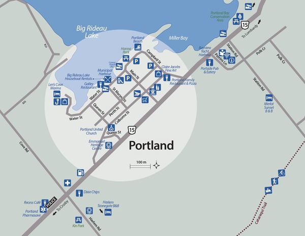
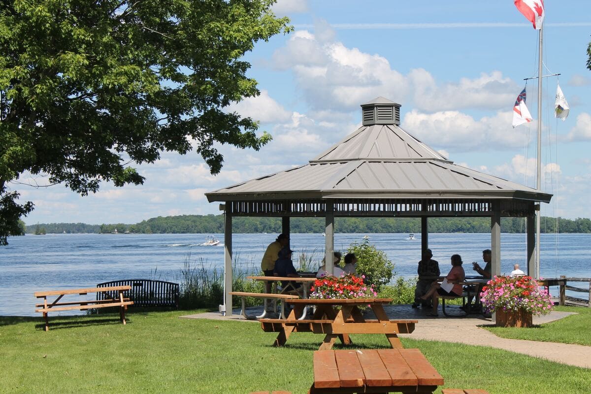
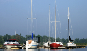
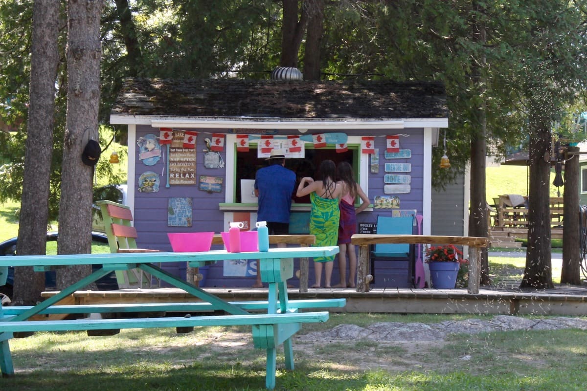
Portland
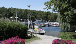


Click on the photo to begin the slideshow
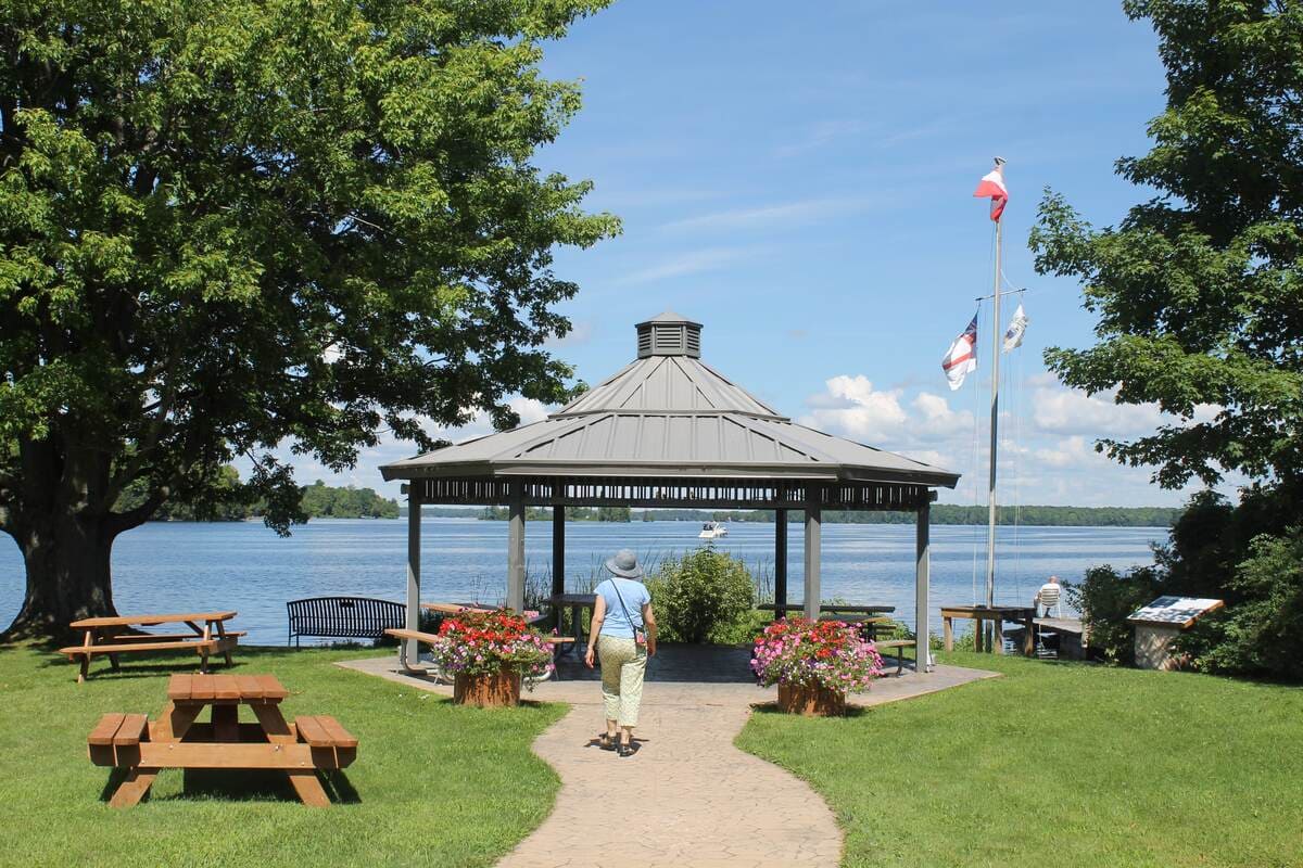
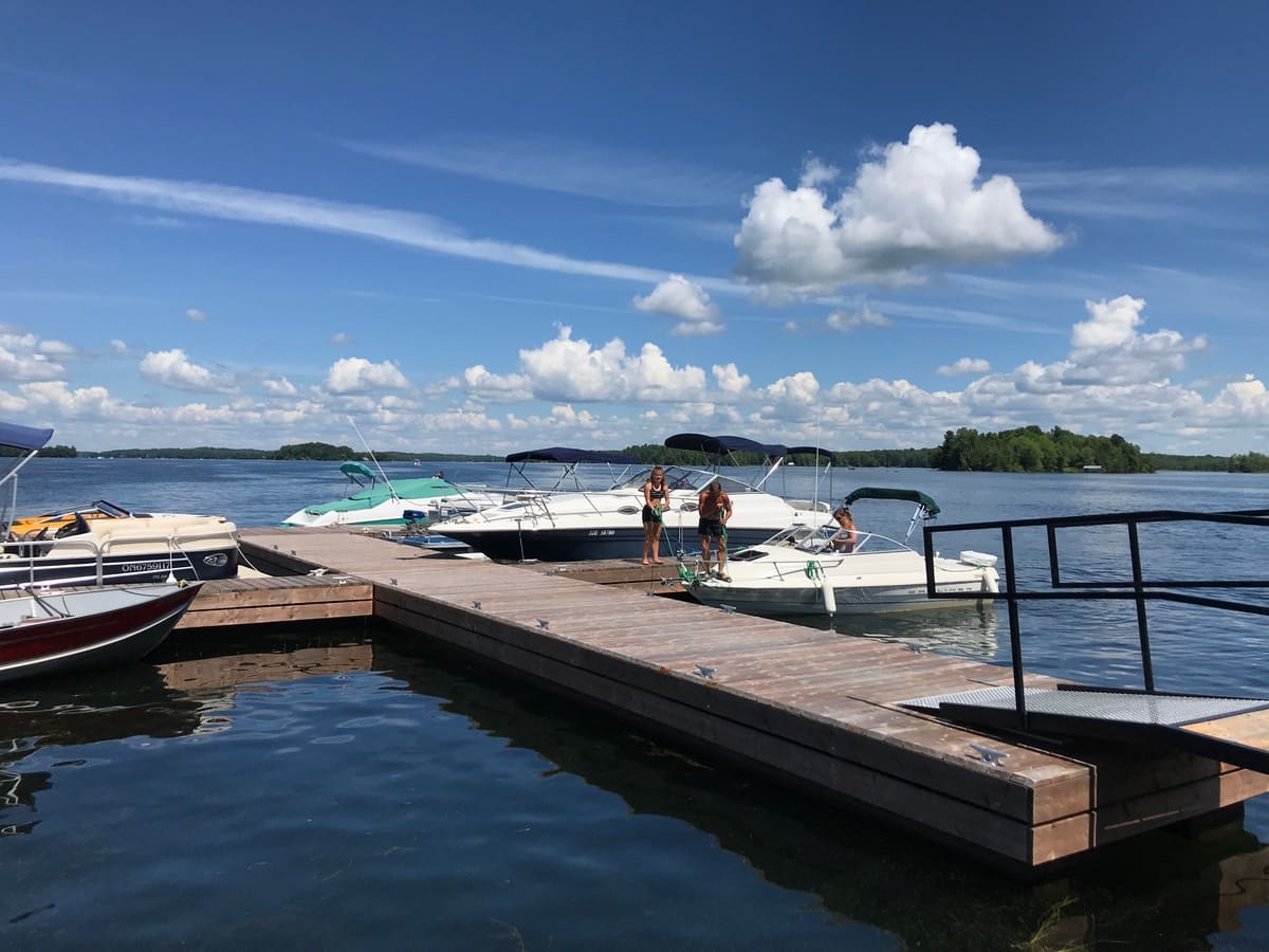
Set on Big Rideau Lake, Portland has been a boating community for hundreds of years. Very welcoming to boaters, you will find waterfront dining, cafes, a pizzeria, an art gallery and shops including grocery, spirits, post office and a bank within walking distance of the harbour and marinas.
The Portland branch of the Rideau Lakes Public library offers public washrooms and free wifi. Outdoors, enjoy beautiful Hanna Park, a children’s playground, swimming at Portland Community Beach or venture to the Cataraqui Trail offering 104 kms for cycling or nature walks just east of the village. The Emmanuel Heritage Centre (formerly Emmanuel Anglican Church 1861) built of fine local sandstone at the crest of Portland Hill, stands as the landmark of the village.
For more detailed information about visiting Portland, see the article: Boat into Portland
The History of Portland
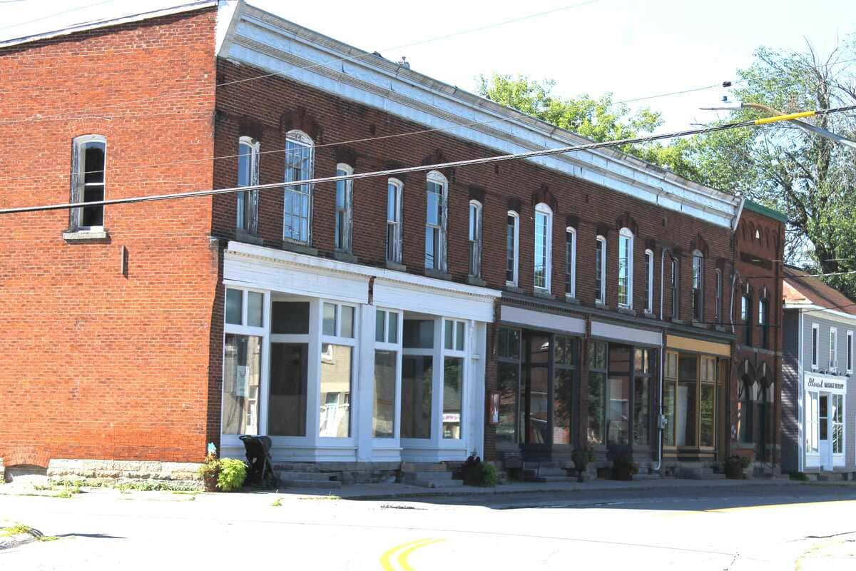
Several fine buildings mark Portland’s evolution as a community of faith, home and business. The Gallagher Bank Building, erected in 1903 is a classic example of bank architecture of that era. The Polk Store, built in 1891 and the Toffey House, built in 1892 manifest the prosperity of the village at the turn of the 20th century. But the landmark of Portland is Emmanuel Anglican Church building. Erected in 1861 of fine local sandstone, the community now seeks new purpose for this stately building at the crest of Portland Hill.
Albert Gallagher House
14 Water Street, Portland
 The property at 14 Water Street is the former site of the Albert Gallagher House.
Albert Gallagher, at one time, held title to approximately 15 homes in the village of Portland. At the turn of the century, Gallagher built several of the buildings in Portland around this corner of town, including a store across the street at 19 Water Street, a warehouse at the foot of Main Street at 19A Water Street, the Albert Gallagher Bank Building (1903) at 11 Water Street, a few buildings on Main Street, and a historic steamboat wharf on the Big Rideau.
Gallagher was arguably responsible for Portland’s heyday as a thriving tourist destination for the Rideau waterway steamboat cruises at the turn of the century and could be considered the founder of Portland’s water-based tourism.
On the same lot is the site of the demolished Peter Bresee house. This former home is associated with an earlier, pre-confederation era of Portland’s history that developed in the wake of building the Rideau Canal. It is historically linked to the hamlet’s oldest documented extant building from that era; the circa 1830’s former Bresee store, across the street at 17 Water Street.
Still existing on the property is a ‘carriage house’; a cast concrete block structure (c. 1920s).
Historic Photographs of Portland: Lakes and Islands, Times Past
Latest Issue of the Portland Lantern
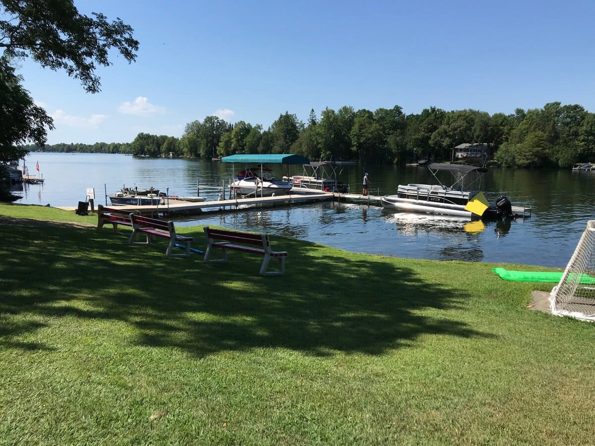
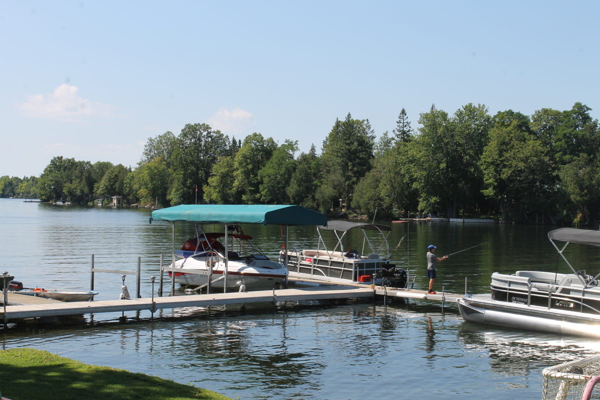
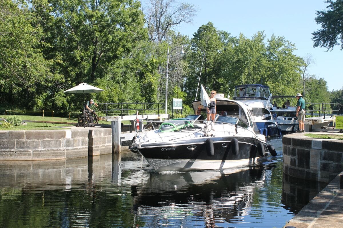
Rideau Ferry / Lombardy
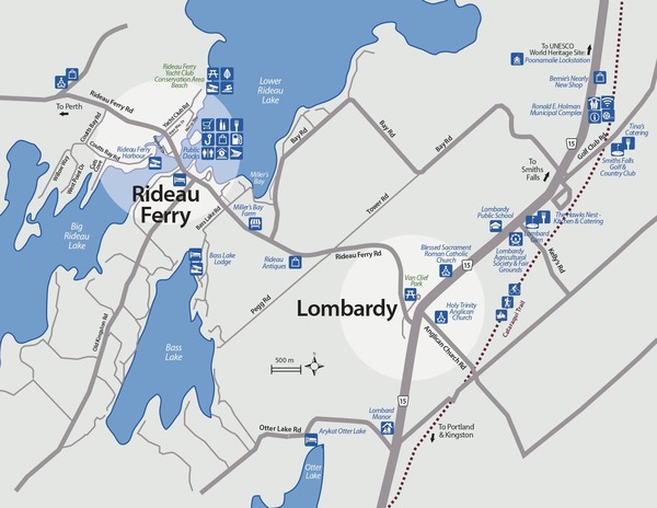
Rideau Ferry - Lombardy Picnic Guide


Click on the photo to begin the slideshow
The History of Rideau Ferry and Lombardy
Rideau Ferry
Originally called Oliver’s Ferry, the community was named after the legendary John Oliver, an early settler in South Elmsley Township. He exacted tolls from ferry travellers and their conveyances wishing to cross this narrow point on Rideau Lake, providing a more direct overland route between Brockville or Kingston, and Perth. In 1874, a bridge was built to provide a more dependable traverse from South Burgess to North Elmsley, from Leeds to Lanark. A swing bridge component allowed boat and barge traffic to pass on the Rideau Canal. By the 1890s, the function of the Rideau Canal was shifting from commerce to recreation. Rideau Ferry benefited with the construction of summer homes and cottages that dotted the south shore of what became known as the Lower Rideau Lake, to the east of the bridge. Many of these residences remain with the same families now, a century later. A cruise along the south shore, westward from Rideau Ferry is a venture into the past.
Lombardy
Lombardy, the community at the intersection of the Brockville – Perth Road and the Kingston to Perth Road is recorded under several names through its history, including Landon’s Corners, Landon’s Mills, and South Elmsley. But the name that persevered was that of a French soldier, Francis Lombarde who settled in the vicinity in the 1820s. A series of mills drew power from Otter Creek, and shops, smiths, taverns (for Saturday evening) and churches (for Sunday morning) were established. Charles Lombard opened the first Hotel.
Like much of the area, Lombardy saw an influx of Loyalist settlers in the first part of the 19th Century. Loyalist land grants included lots given to Peggy Shippen (Arnold), the second wife of Benedict Arnold, and her children. Property granted to the family included the area south of Rideau Lake including the property of the current Lombard Glen Golf Club as well as other lots near Otter Creek, east and west of Kellys Road. Other land grants to the Arnold family included lots along the south shore of lower Rideau Lake. The family did not settle in the area.
For many years, Lombardy served as the seat for the municipal council of South Burgess. Its churches still serve as social centres for the community, namely the Roman Catholic, the former United Church and the Anglican Church.
Several kilometres northwest of Lombardy is Poonamalie, the first lockstation west of Smiths Falls on the Rideau Canal. The lock was named after Poonamallee, the anglicized name of Poonthamalli near Chennai (Madras) in India. The area’s aromatic cedars reminded a British Royal Engineers army officer of Poonamallee in India where he had previously served. The dam at Poonamalie controls the water level in Lower and Big Rideau lakes. The beautiful lockmaster’s house here is one of three original structures still in use on the Rideau Canal today.
Historic Photographs of Rideau Ferry: Lakes and Islands, Times Past
Contact Us
Tracy Perrin
Development Services Analyst
1-800-928-2250
Hours of Operation
Monday to Friday
8:30 a.m. to 4:30 p.m.
After-Hours Road Emergency
1-877-798-5725
Portland Transfer Station
4427H Old Kingston Road, Portland
1-800-928-2250 ext. 230
Open: Wednesdays & Saturdays
8:00am to 4:00pm